What is recorded here
Fairy fort / earthen ringfort in Carrowbleagh East is a fairy fort or earthen ringfort in Carrowbleagh East, County Sligo, Ireland. The circular area measures 21 metres across and is enclosed by a bank of earth and stone that incorporates much field clearance debris. A modern roadway borders the western edge, making the bank barely discernible from WSW to NNW, while large stones at the northern edge may be remnants of a kerb.
Situated in level pasture. Circular area (diam. 21m) enclosed by a bank of earth and stone (Wth. 3.6m - 6.5m; int. H 0.2m - 1.3m) which incorporates much field clearance debris. The bank is barely discernible from WSW-W-NNW where the site is bordered by a modern roadway. Some large stones visible at N may be the remnants of a kerb. No fosse. Original entrance not recognisable.
Compiled by: Patrick F. O'Donovan
Date of upload: 19 January 2011
The monument record does not grant public access. Check the route and ask the landowner before entering private land.
- What survives
- Recorded monument
Places near here
 Enclosure in Longford DemesneEnclosure · 218 yd
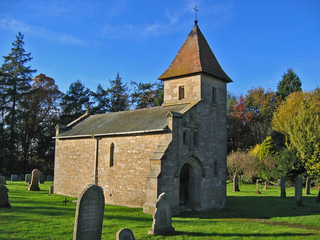 R. C. Chapel in ruinsChurch · 261 yd
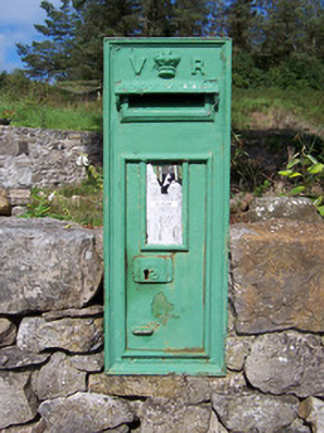 post boxpost box · 263 yd
 IndicatedFairy fort / earthen ringfort · 288 yd
 Bawn in Longford DemesneBawn · 483 yd
 European ashEuropean ash · 666 yd
 Pigeonpark WoodForest · 748 yd
 Giant's GraveArchaeological place · 1.2 mi
 CloonaghMountain / peak · 2.0 mi
 CastleCastle, ringwork · 2.1 mi
 Lahanacappul IslandIslet · 2.2 mi
 Ballinlig PointHeadland · 2.5 mi