What is recorded here
Carrons held a twenty-metre fairy fort on a gentle north-facing slope, visible on maps until ploughs and time erased it. The land swallowed the ring, removing the boundary between human history and fictional legend. What remains is a vacant pasture where the shape of the fort still lingers in memory, proving that even solid earth yields to patience and forgetting.
In pasture, on gentle N-facing slope. Monument, depicted as roughly circular embanked enclosure (diam. c. 20m N-S) on 1923 OS 6-inch map, has been levelled. No trace of monument evident when inspected.
Compiled by: Denis Power
Date of upload: 26 August 2011
The monument record does not grant public access. Check the route and ask the landowner before entering private land.
- What survives
- Recorded monument
Places near here
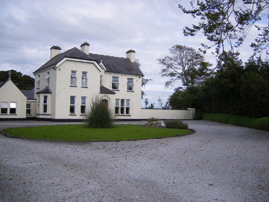 The Presbyteryhouse, presbytery/parochial/curate's house · 642 yd
 Fulacht fia in CarronsFulacht fia · 659 yd
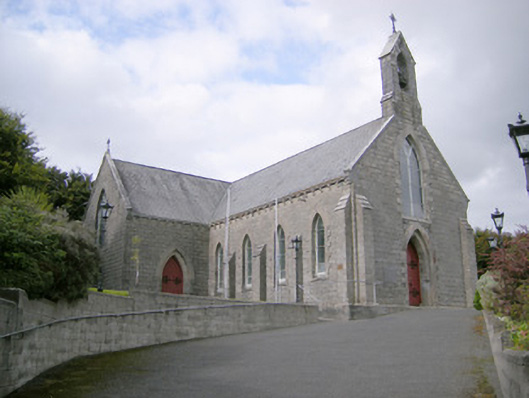 Saint Colman's Catholic Churchchurch/chapel · 740 yd
 Mound in KnockbweeheenMound · 1147 yd
 Castle (in ruins)Castle, tower house · 1.1 mi
 Site of CastleCastle, unclassified · 1.5 mi
 St. Luke's WellSpring · 2.3 mi
 St. Kieran's WellSpring · 3.4 mi
 Gammarel PointHeadland · 5.6 mi
 Monterey CypressMonterey Cypress · 5.6 mi
 Askeaton CastleHeritage attraction · 6.1 mi
 Limerick GreenwayWalking route · 6.3 mi