What is recorded here
Fairy fort / earthen ringfort in Carron (Tipperary parish) is a fairy fort or earthen ringfort in Carron (Tipperary parish), County Tipperary, Ireland. It occupies a 20 by 19 metre circular area in improved pasture with views in all directions. A levelled bank and scarp define the east and north-east, while a shallow outer ditch remains visible on the north-east and south-west. A farm track runs north-south three metres to the east, and another ringfort lies about 150 metres to the north-east.
In improved pasture, with good views in all directions. Circular area (dims. 20m E-W; 19m N-S) defined by remains of levelled bank (Wth 13.2m; int. H 0.15m; ext. H 0.35m) NNE-SE and scarp (Wth 5.15m; H 0.65m) SE-NNE. Scarp (Wth 3m; H 0.5m) is best defined ENE-SE. Outer fosse (Wth 8.05m; D 0.07m) is visible from NNE-E and SSE-SSW. The interior is generally level. There is a farm trackway (long axis N-S) 3m to the E. The surrounding field boundaries have been removed. There is a ringfort (TS059-092----) c. 150m to the NE.
Compiled by: Jean Farrelly
Date of upload: 26 August 2011
The monument record does not grant public access. Check the route and ask the landowner before entering private land.
- What survives
- Recorded monument
Places near here
 Carron FortArchaeological place · 209 yd
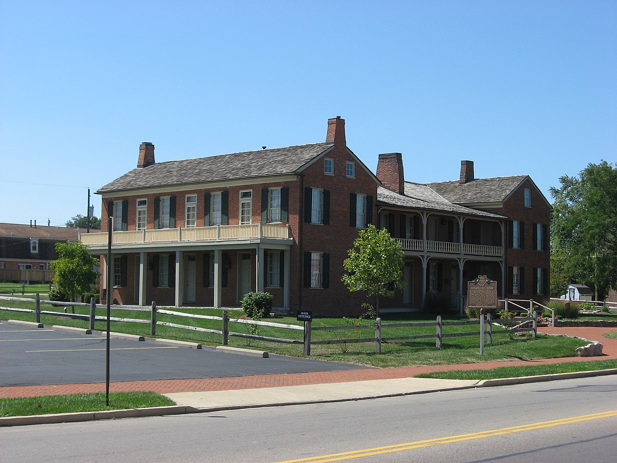 Enclosure in Springfield (tipperary Par.)Enclosure · 491 yd
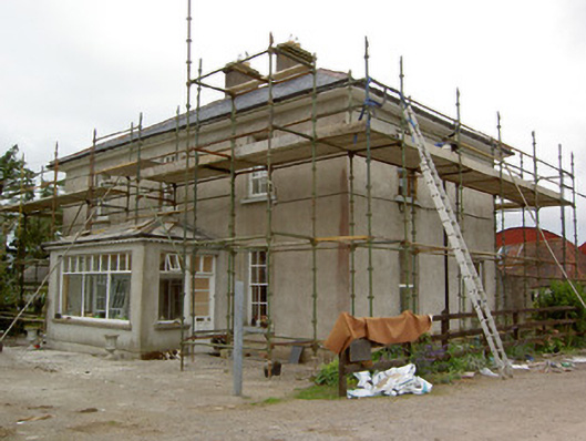 Greenrath Househouse · 996 yd
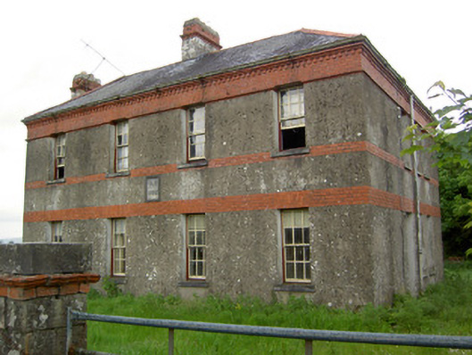 Victoria Houseoffice · 1312 yd
 MoatCastle, motte and bailey · 1.0 mi
 Mutton Pie HillCastle, motte · 1.0 mi
 Soloheadbeg Ambush SiteMemorial · 1.5 mi
 The Maid of ErinMemorial · 1.5 mi
 It's a long way to TippereryHeritage attraction · 1.6 mi
 Soloheadbeg Ambushambush · 2.1 mi
 European ashEuropean ash · 3.5 mi
 Oola HillMountain / peak · 3.8 mi