What is recorded here
Fairy fort / earthen ringfort in Carrigeen North is a 43-metre circular earthwork with a two-metre-high bank, shallow outer ditch and eastern entrance on a slight pasture rise in County Kildare. A 1955 description also mentioned a causeway at the north-east, while the interior slopes gently upward toward the centre. The shape suggests a defended dwelling, meeting place or boundary marker, but the absence of a named resident leaves the fort holding more suggestion than confession.
Approximately circular area (diam. 43m E-W) surrounded by high, broad bank (H 2m; W2m) with shallow external fosse (max dims. c. 75m E-W x c. 85m N-S). Described in 1955 as having a causeway at the NE (Danaher 1955, no. 325). Entrance at E. Interior rises slightly towards centre. Situated on slight rise in pasture land.
Date of upload: 16 September 2016
The monument record does not grant public access. Check the route and ask the landowner before entering private land.
- What survives
- Recorded monument
Places near here
 IndicatedEcclesiastical enclosure · 1713 yd
 Church (in Ruins)Church · 1.0 mi
 Enclosure in Irongrange UpperEnclosure · 1.1 mi
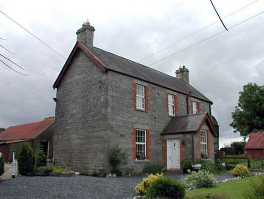 Corballis Housefarm house · 1.1 mi
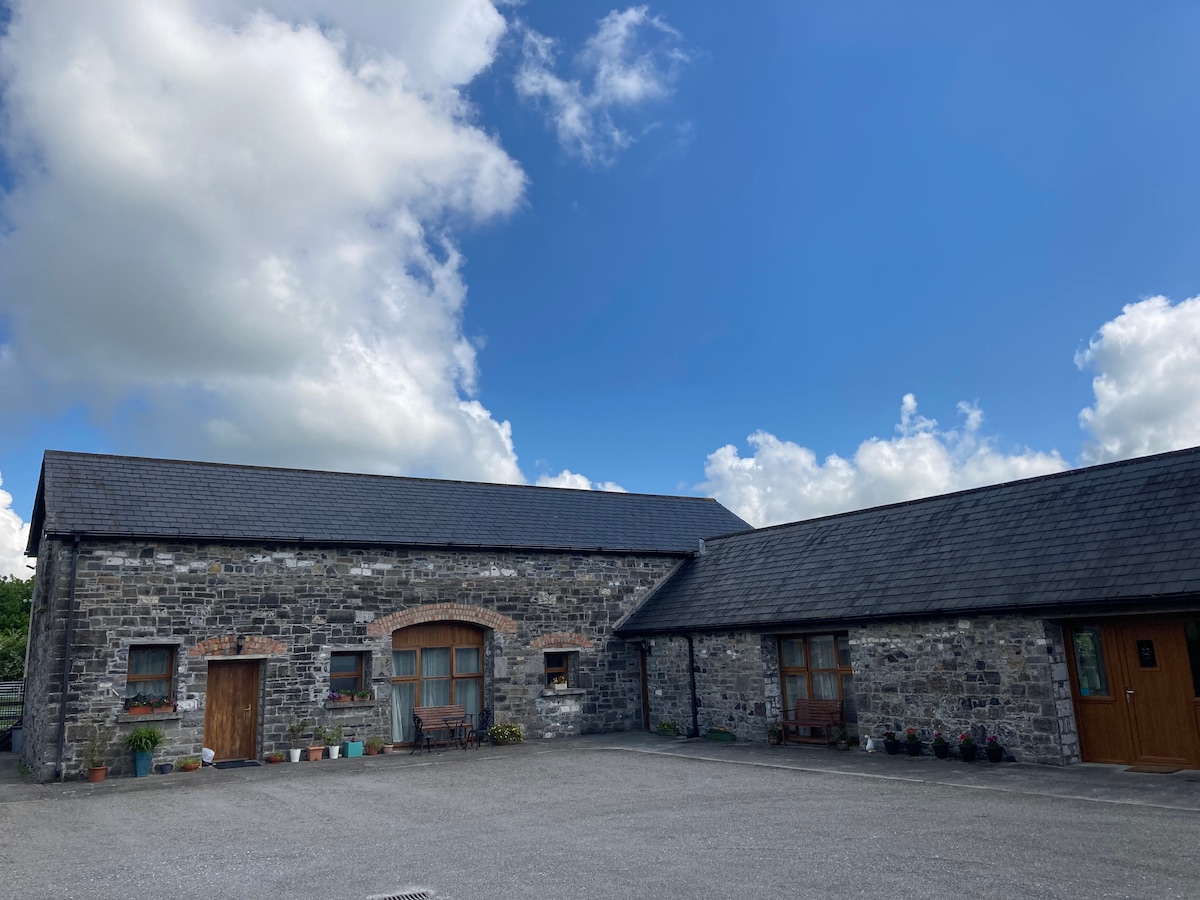 Partially OutlinedCastle, unclassified · 1.2 mi
 European ashEuropean ash · 2.0 mi
 Rahill Church (in ruins), GraveyardChurch · 2.1 mi
 CastleCastle, unclassified · 2.4 mi
 Tinoran HillMountain / peak · 2.4 mi
 Castledermot Round TowerHeritage attraction · 3.6 mi
 Franciscan FriaryHeritage attraction · 3.7 mi
 ProclamationMemorial · 4.0 mi