What is recorded here
Fairy fort / earthen ringfort in Carrigboy (muskerry West By.) is a roughly circular earthen enclosure on the south-facing slope of Knockaunnagorp Hill in County Cork, Ireland. Its low bank and steeper scarp still mark a small defended or domestic space, perhaps used by people who valued sightlines, shelter and control of the slope. The name fairy fort suggests later locals believed the shape belonged to unseen residents rather than ordinary neighbours.
In pasture, on S-facing slope of Knockaunnagorp Hill. Roughly circular area (34m E-W) defined by low earthen bank (int. H 0.4m; ext. H 1m) ENE->SSE and W->NW; scarp (H 1.6m) SSE->W; low rise marks line of levelled bank to N. Break (Wth c. 2m) in bank to SSE. Some large stones embedded in scarp may be remains of facing. Interior slopes down to S.
The above description is derived from the published 'Archaeological Inventory of County Cork. Volume 3: Mid Cork' (Dublin: Stationery Office, 1997). In certain instances the entries have been revised and updated in the light of recent research.
Date of upload/revision: 14 January 2009
The monument record does not grant public access. Check the route and ask the landowner before entering private land.
- What survives
- Recorded monument
Places near here
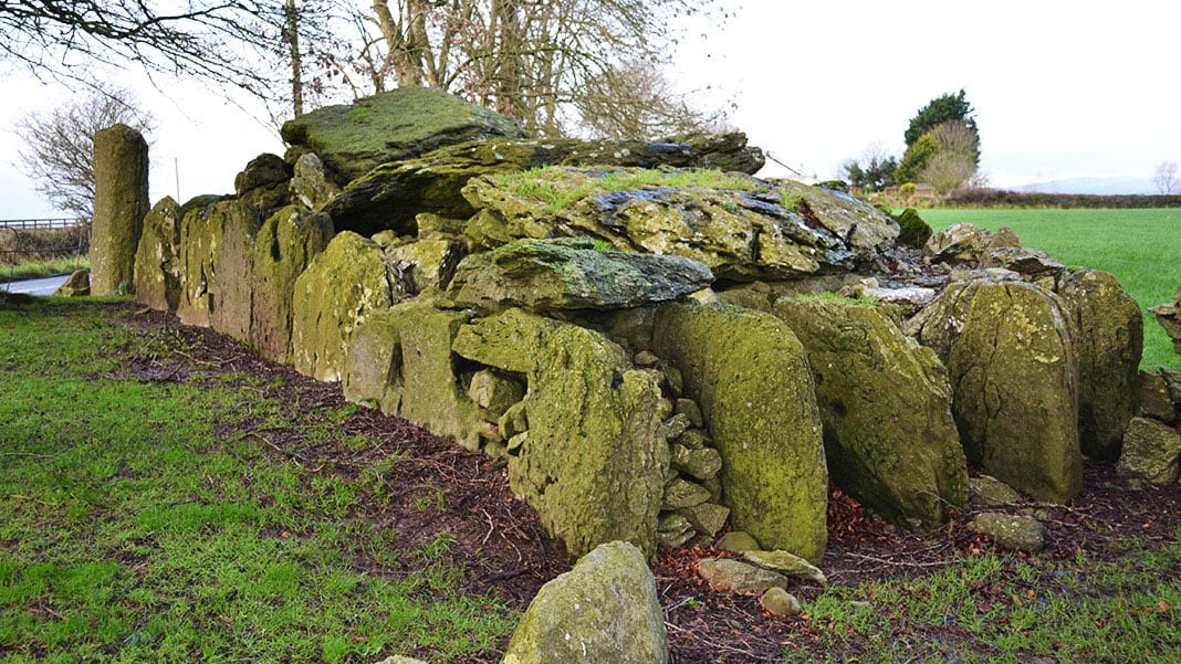 Wedge tomb in Carrigboy (muskerry West By.)Wedge tomb · 177 yd
 IndicatedKiln, lime · 512 yd
 LisheenroeFairy fort / earthen ringfort · 712 yd
 Carrigboy Castlehouse · 1245 yd
 Kilmichael Ambush SiteMonument · 1.3 mi
 Kilmichael Ambushambush · 1.4 mi
 Dromcarra Castle (in Ruins)Castle, tower house · 2.6 mi
 Castle (Site of)Castle, unclassified · 3.1 mi
 Castle RockNamed rock · 4.4 mi
 The Gearagh Nature ReserveNature reserve · 4.5 mi
 Summerhouse WoodForest · 5.1 mi
 Gortnahoughtee Mass RockNamed rock · 5.8 mi