What is recorded here
Half-buried in a green slope above Carrig More, the fort keeps its circular shape despite centuries of rain and pasture. Its earthen bank still rises twenty-six metres across, with a narrow entrance cut through the east side where someone once stepped inside. The fairies may have built it in a night, but human hands shaped the ramp and levelled the floor for living.
On a moderate S-facing slope, in pasture with excellent views from SE-S-SW, 185m E of a townland boundary with Carrig Beg. Depicted on the 1897 ed. OS 25-inch map as a roughly circular-shaped earthwork. Monument surveyed by the ASI in 1999 and described as a raised circular-shaped area (26m N-S; 23m E-W) enclosed by an earthen bank (Wth 4.3m; int. H 0.4m; ext. H 0.25m) from W-N-E-ESE, which is reduced to a scarp (Wth 3.8m; H 0.85m) from ESE-S-W. The interior has a slight S-facing slope and has been raised slightly on the S-side to compensate for the hillslope. An entrance (Wth 2.5m) via a ramp through earthen bank at E seems original. Monument is visible as a partially tree-lined earthwork on OSi orthophoto taken 2005-2012, on Digital Globe orthoimage taken 2011-2013 and on Google Earth orthoimage taken 18/11/2018.
See attached Google Earth orthoimage taken 18/11/2018
Date of upload: 17 October 2020
The monument record does not grant public access. Check the route and ask the landowner before entering private land.
- What survives
- Recorded monument
Places near here
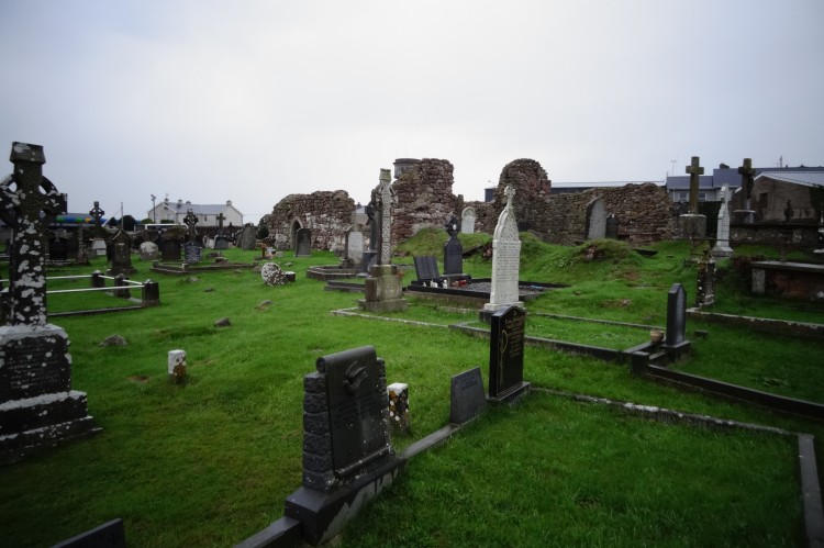 Grave YardBurial ground · 731 yd
 Enclosure in Carrig BegEnclosure · 812 yd
 Derraun Bridgebridge · 985 yd
 Castletown Church (in ruins)Church · 1179 yd
 Coonagh CastleCastle · 1350 yd
 Longford Castle (in ruins)Castle, unclassified · 1.5 mi
 Oola HillMountain / peak · 3.1 mi
 ToberagaddySpring · 3.4 mi
 GortnageraghMountain / peak · 3.6 mi
 Soloheadbeg Ambush SiteMemorial · 5.6 mi
 St. Patrick's WellSpring · 7.1 mi
 Flat cemetery in Knockainy WestFlat cemetery · 11 mi