What is recorded here
Situated on the SW-facing slope of a hill, in pasture with good views to E and W. Ringfort (WM023-060----) lies c. 155m to SW. Monument described in 1971 as a large subcircular-shaped area (approx. 40m E-W; 36m N-S) enclosed by an earth and stone bank with external fosse. The bank is steep and has almost been reduced to a scarp in places. There are traces of a fosse, which is best preserved at E. A modern fence extends just outside the bank from S-SW-W and other fences intersect the bank at NNE and ESE. A slight modern bank has been made along the upper edge of the scarp from SE-S and has a modern trench inside it. The original entrance is not visible. The interior rises slightly from the perimeter towards the centre and has slight traces of cultivation ridges running E-W.
Compiled by Alison McQueen, Vera Rahilly and Caimin O’Brien.
Date of upload: 29 July 2019
The monument record does not grant public access. Check the route and ask the landowner before entering private land.
- What survives
- Recorded monument
Places near here
 Killininneen Househouse · 632 yd
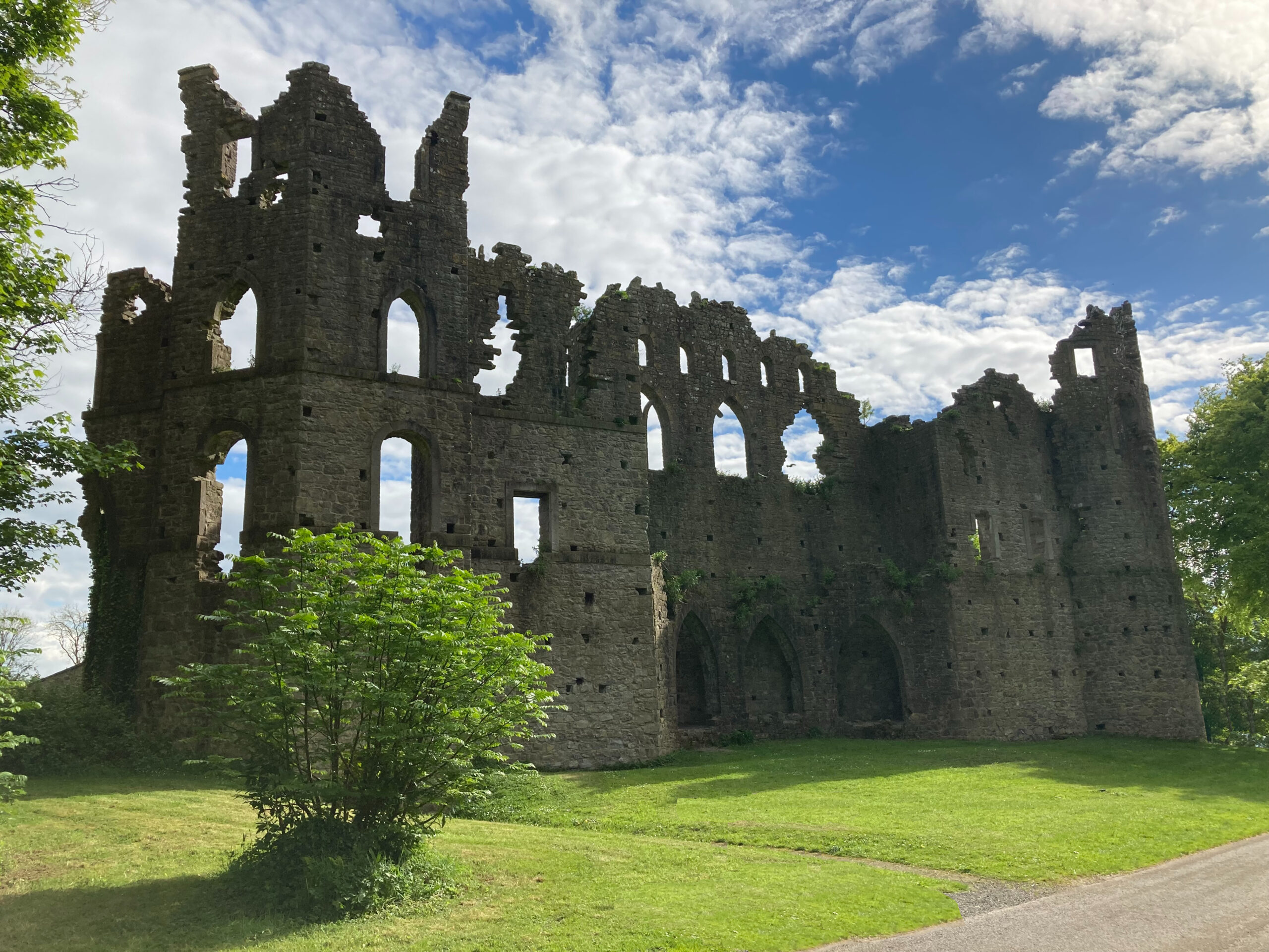 Sterns Folly, The BreenCastle, ringwork · 1289 yd
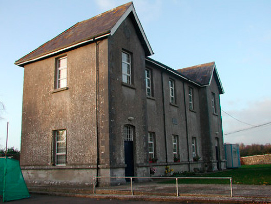 Drumraney National Schoolschool · 1386 yd
 Site of Lissanode CastleCastle, unclassified · 1.0 mi
 OutlinedEnclosure · 1.1 mi
 Man-made underground passage in ArdborraMan-made underground passage · 1.1 mi
 Noughaval CemeteryArchaeological place · 4.1 mi
 Dún na Sí Heritage CentreMuseum · 4.5 mi
 Dún na SíMuseum · 4.5 mi
 Charles BianconiMemorial · 5.1 mi
 Japanese pagoda treeJapanese pagoda tree · 5.1 mi