What is recorded here
Fairy fort / earthen ringfort in Carrick (fartullagh By.) is a fairy fort or earthen ringfort in Carrick (fartullagh By.), County Westmeath, Ireland. The 1971 survey described this bivallate monument as an oval-shaped area, measuring 46 metres east-west and 41.3 metres north-south, enclosed by an inner bank, an intervening fosse and an outer bank. The substantial inner bank is steep on the exterior and is best preserved from north-northeast and from southwest through west to northwest, being almost reduced to a scarp elsewhere.
Situated on a small rise, in gently undulating pasture, with extensive views to W and NW. Ringfort (WM026-081----) lies c. 45m to N. Depicted on the revised 1913 ed. OS 25-inch map as a broad oval-shaped earthwork. Bivallate monument described in 1971 as an oval-shaped area (dims. 46m E-W; 41.3m N-S) enclosed by an inner bank, an intervening fosse and an outer bank. The substantial inner bank is steep on the exterior and is best preserved from N-NE and from SW-W-NW, being almost reduced to a scarp elsewhere. Where the inner bank is well preserved there are several slight disturbance gaps in its crest and a large portion of it has been removed from S-SW and at NNW. A wide, steep intervening fosse is visible from ESE-S-W-NNE. The slight outer bank is visible from ESE-SE-S and at NNW. There is a probable entrance at S where the E side of the gap is preserved in the inner bank (where it is defined by a large stone) and a slight causeway (Wth at top 2m; basal Wth 5.2m; approx. H 0.3m) extends across the fosse. The interior has a gentle ESE-facing slope. Two small humps inside the inner bank at SW appear to be natural features.
See attached profile of monument surveyed and drawn by the ASI.
Compiled by Alison McQueen, Vera Rahilly and Caimin O’Brien.
Date of upload: 04 November 2019
This remains an important historical record, but the official description says the monument is no longer visible or has been destroyed. The monument record does not grant public access. Check the route and ask the landowner before entering private land.
- What survives
- No visible remains or recorded as destroyed
Places near here
 Enclosure in Carrick (fartullagh By.)Enclosure · 490 yd
 Church (in Ruins)Church · 648 yd
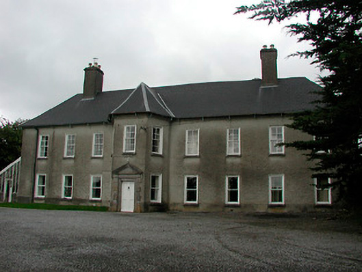 Carrick Housecountry house · 807 yd
 Hachured, RahaclowineFairy fort / earthen ringfort · 972 yd
 Mollie Moo's Pet FarmHeritage attraction · 1754 yd
 CastleCastle, tower house · 1.3 mi
 Castle in RuinsCastle, tower house · 1.3 mi
 Belvedere house and gardensVisitor information · 1.4 mi
 Blind IslandIslet · 1.5 mi
 Dysart IslandIsland · 2.3 mi
 Derrygreenagh HillMountain / peak · 6.3 mi
 Ardan WoodWood · 7.5 mi