What is recorded here
Fairy fort / earthen ringfort in Carrick (fartullagh By.) is a fairy fort or earthen ringfort in Carrick (fartullagh By.), County Westmeath, Ireland. A 1971 description recorded the site as a much disturbed oval-shaped area measuring 28.5 metres on a northeast to southwest axis and approximately 18 metres on a northwest to southeast axis. It was enclosed by a bank that was steep on the exterior and almost reduced to a scarp, with faint traces of a wide external fosse.
Situated on a small rise, in gently undulating pasture, with good views in all directions. Monument described in 1971 as a much disturbed oval-shaped area (28.5m NE-SW; approx. 18m NW-SE) enclosed by a bank with external fosse. The bank is steep on the exterior and is almost reduced to a scarp. An ESB pole stands in the bank at ENE. There are faint traces of a wide external fosse. The perimeter has been quarried from NW-N and from E-S-SSW. A gap (Wth at top 3.2m; basal Wth 1.6m) in the bank at NNE may represent the entrance. There is no visible trace of a causeway but the fosse is barely traceable at this point. The interior has a slight E-facing slope with no visible features of significance.
Compiled by Alison McQueen, Vera Rahilly and Caimin O’Brien.
Date of upload: 04 November 2019
This remains an important historical record, but the official description says the monument is no longer visible or has been destroyed. The monument record does not grant public access. Check the route and ask the landowner before entering private land.
- What survives
- No visible remains or recorded as destroyed
Places near here
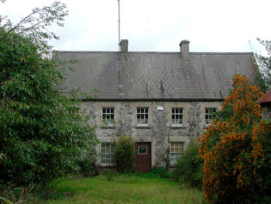 Rochfort Millmiller's house · 470 yd
 Enclosure in Carrick (fartullagh By.)Enclosure · 478 yd
 Carrick Lodgefarm house · 533 yd
 Hachured, RahaclowineFairy fort / earthen ringfort · 567 yd
 Mollie Moo's Pet FarmHeritage attraction · 1368 yd
 CastleCastle, unclassified · 1422 yd
 Belvedere house and gardensVisitor information · 1.1 mi
 Castle in RuinsCastle, tower house · 1.2 mi
 Blind IslandIslet · 1.4 mi
 Dysart IslandIsland · 2.2 mi
 Derrygreenagh HillMountain / peak · 6.5 mi
 Ardan WoodWood · 7.7 mi