What is recorded here
Carracloghan holds a battered earthen ring, forty-six metres across, where human hands built a boundary that time has half-erased. The bank still stands ninety centimetres high, though cultivation has scarred the inside and a modern trench has cut its edge. It is not a fairy tale, despite the name, but a human fort reduced to a shallow bowl in the Louth landscape. What remains is enough to show that people once drew a line around their lives and called the inside theirs.
The following description is derived from both the published 'Archaeological Inventory of County Louth' (Dublin: Stationery Office, 1986) and the 'Archaeological Survey of County Louth' (Dublin: Stationery Office, 1991). In certain instances the entries have been revised and updated in the light of recent research.
Date of upload/revision: 17 July 2007
Sub-circular area (int. dims. 46.5m N-S, 44m E-W) enclosed by much-degraded earthen bank (Wth 4.2m, H 0.9m). No surface trace of fosse or entrance. Modern trench in outer edge of bank from SE-S. Interior distubed by cultivation ridges.
The monument record does not grant public access. Check the route and ask the landowner before entering private land.
- What survives
- Recorded monument
Places near here
 Man-made underground passage in CarrickykellyMan-made underground passage · 751 yd
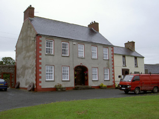 Clonaleenaghan Househouse · 1316 yd
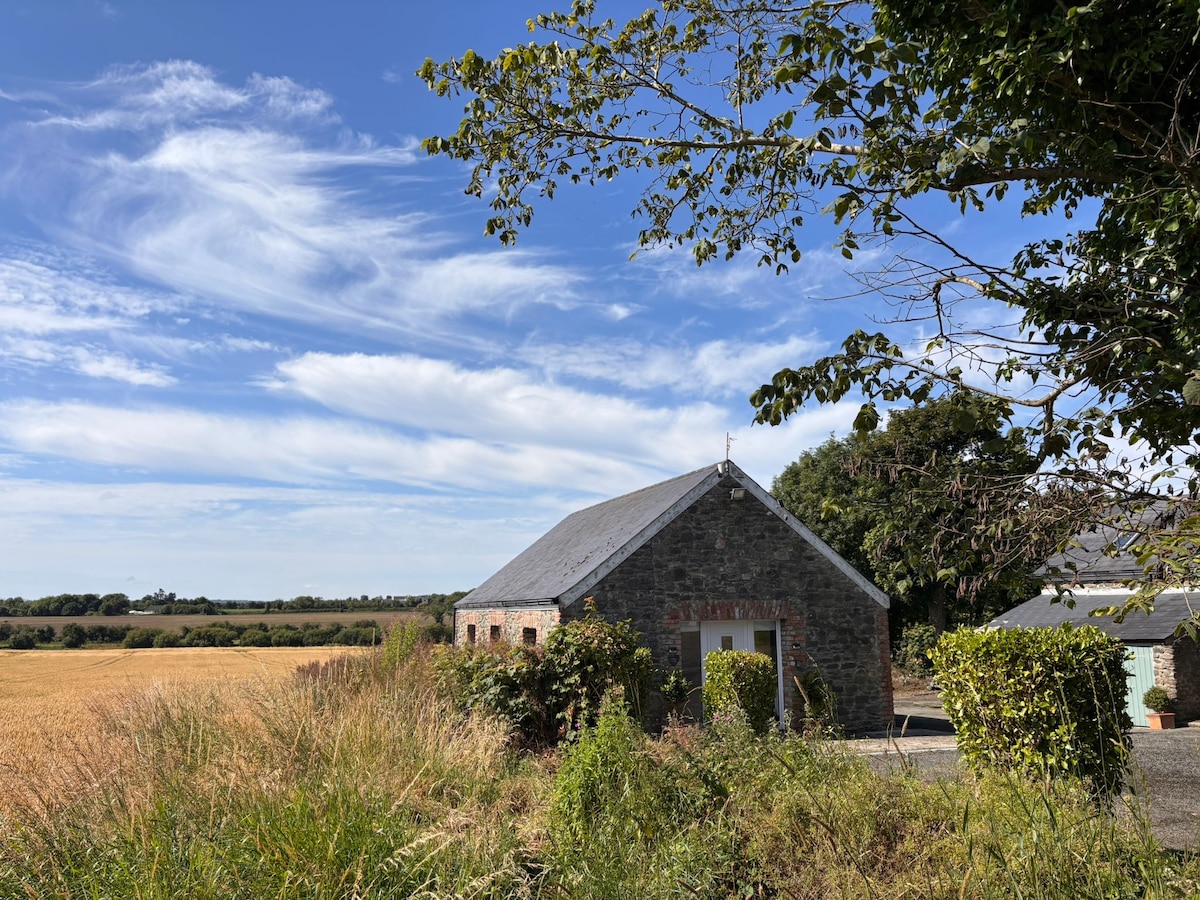 Enclosure in AnnaghvackyEnclosure · 1.1 mi
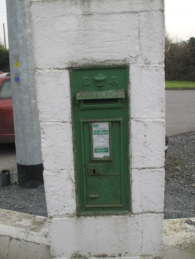 post boxpost box · 1.2 mi
 CastleCastle, unclassified · 1.9 mi
 Mount AshCastle, motte · 2.8 mi
 Ballsmill Amenity LandPicnic place · 4.0 mi
 Sky HillMountain / peak · 4.1 mi
 MEDIEVAL & POST-MED. CHURCH & GRAVEYARD in Creggan Bane GlebeMEDIEVAL & POST-MED. CHURCH & GRAVEYARD · 4.6 mi
 Battle of Newry Roadbattle · 4.8 mi
:no_upscale()/cdn.vox-cdn.com/uploads/chorus_asset/file/25593391/County_Louth_6th.jpg) LouthMountain / peak · 5.0 mi
LouthMountain / peak · 5.0 mi Mass Rock Loop TrailWalking route · 5.9 mi