What is recorded here
Carnakelly is a circular earthen rath forty-three metres across on a gentle south-facing slope in County Galway. Its bank still stands, though quarrying has bitten into the east and west edges and modern gaps have opened the line. Cody recorded a causewayed entrance at the southeast in 1989, but that feature has vanished from view. The fort may have held homes, herds or fear of fairies; it certainly held shape long enough for people to keep remembering it.
On a gentle S-facing slope in an area of tillage and pastureland. This roughly circular rath (diam. 43m), in fair condition, is defined by a bank with evidence of external stone-facing at NW. Gaps at NE (Wth 3m) and S (Wth 3m) appear to be modern. Quarrying has encroached upon the enclosing element at E and W. No visible surface trace survives of the external fosse and causewayed entrance gap (Wth 4m) noted by Cody (1989, 183-4, no. 38) at SE.
Compiled by: Galway Archaeological Survey, UCG
Date of upload: 19 January 2017
The monument record does not grant public access. Check the route and ask the landowner before entering private land.
- What survives
- Recorded monument
Places near here
 IndicatedHoly well · 1618 yd
 Font in Kiltullagh NorthFont · 1.1 mi
 Kiltullagh Housecountry house · 1.1 mi
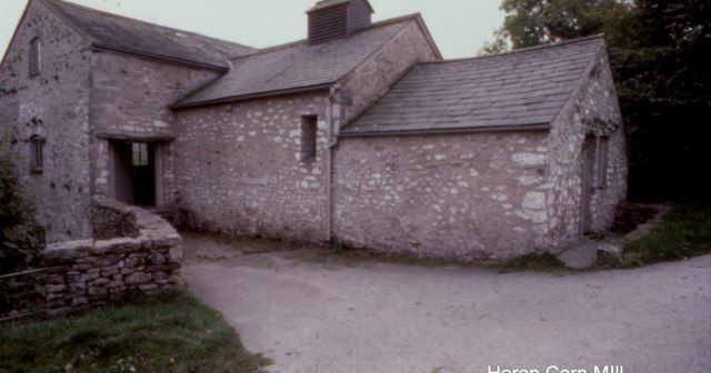 Corn MillMill, corn · 1.2 mi
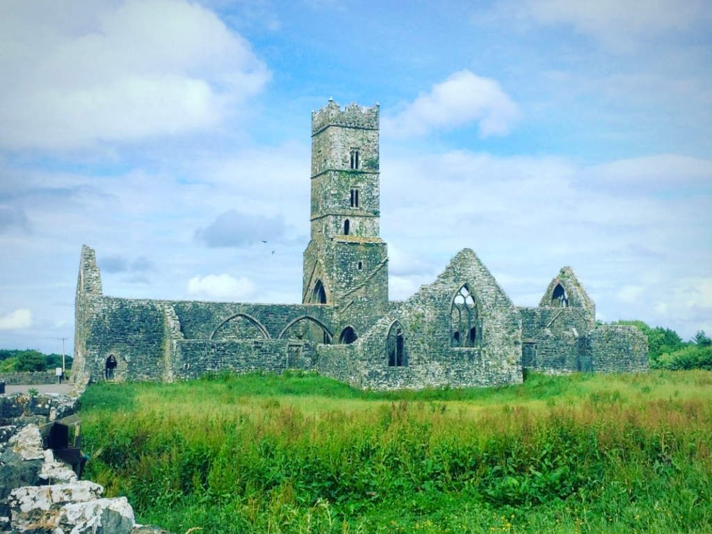 Cloonbrusk Castle (in ruins)Castle, unclassified · 2.3 mi
 MoteCastle, motte and bailey · 2.5 mi
 Moyard WoodWood · 3.7 mi
 Turoe StoneHeritage attraction · 4.1 mi
 Athenry AbbeyHeritage attraction · 4.5 mi
 Horse-chestnutHorse-chestnut · 4.7 mi
 First Battle of Athenrybattle · 4.8 mi
 Barrack IslandIslet · 7.1 mi