What is recorded here
Carnagh Upper holds a thirty-metre earthen ring where a missing eastern entrance faces the rising sun. A large flat stone still lies inside the southern edge, perhaps marking a hearth or warning keepers that the soil belongs elsewhere. Cavan farms have swallowed part of the bank into field boundaries, yet the circle remains clear enough to invite wonder about the people who shaped it or the fairies who refused to leave it alone.
Raised circular area (int. diam. c. 30m E-W) enclosed by a substantial earthen bank. An earlier report (OPW 1970) noted traces of a fosse from N-E-S. From SW-W-N the outer face of the bank has been modified and incorporated into the field boundary and has a modern external trench. Break in bank at E presumably represents original entrance. A large flat stone (H 0.5m; dims, 1m x 1m) lies in the interior at S.
The above description is derived from the published 'Archaeological Inventory of County Cavan' (Dublin: Stationery Office, 1995). In certain instances the entries have been revised and updated in the light of recent research.
Date of upload/revision: 22 December 2008
The monument record does not grant public access. Check the route and ask the landowner before entering private land.
- What survives
- Recorded monument
Places near here
 Enclosure in Carnagh UpperEnclosure · 266 yd
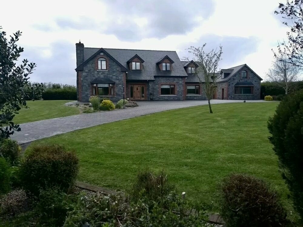 Carnagh LowerMountain / peak · 1450 yd
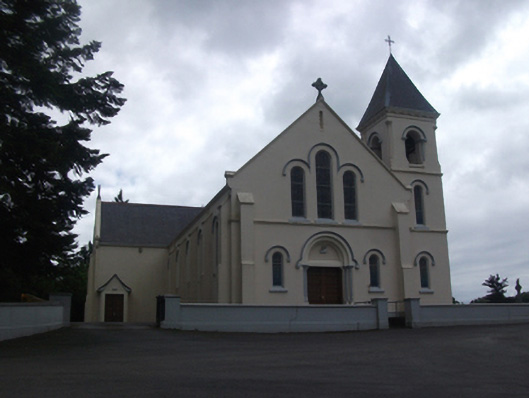 Our Lady of Lourdes Roman Catholic Churchchurch/chapel · 1488 yd
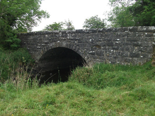 Kilsaran Bridgebridge · 1759 yd
 IdicatedCastle, unclassified · 1.3 mi
 ToomeMountain / peak · 1.4 mi
 CaveMan-made underground passage · 1.5 mi
 Cornamucklagh WoodlandWood · 2.7 mi
 Scrabby IslandIslet · 3.5 mi
 Oghill Bog WoodWood · 3.6 mi
 Cloone Ho.Castle, unclassified · 3.7 mi
 Red IslandIslet · 4.5 mi