What is recorded here
Thirty-two metres of raised earth still mark the forgotten boundary in Carnagh Lower. A substantial bank encloses the circle, though the true entrance has vanished beneath grass and time. A modern laneway brushes its outer foot, forcing cars to respect the ancient curve. The fort may have housed a family, a chieftain or a fleeing soul, but its purpose is no longer written on its surface. It remains a hollow chamber waiting for someone brave enough to imagine the lives that filled it.
Raised circular area (int. diam. c. 32m) enclosed by a substantial earthen bank. An earlier report (OPW 1970) noted traces of a fosse from SW-WNW. A modern laneway skirts the external foot of the bank from NW-N-NE. Original entrance not recognisable.
The above description is derived from the published 'Archaeological Inventory of County Cavan' (Dublin: Stationery Office, 1995). In certain instances the entries have been revised and updated in the light of recent research.
Date of upload/revision: 22 December 2008
The monument record does not grant public access. Check the route and ask the landowner before entering private land.
- What survives
- Recorded monument
Places near here
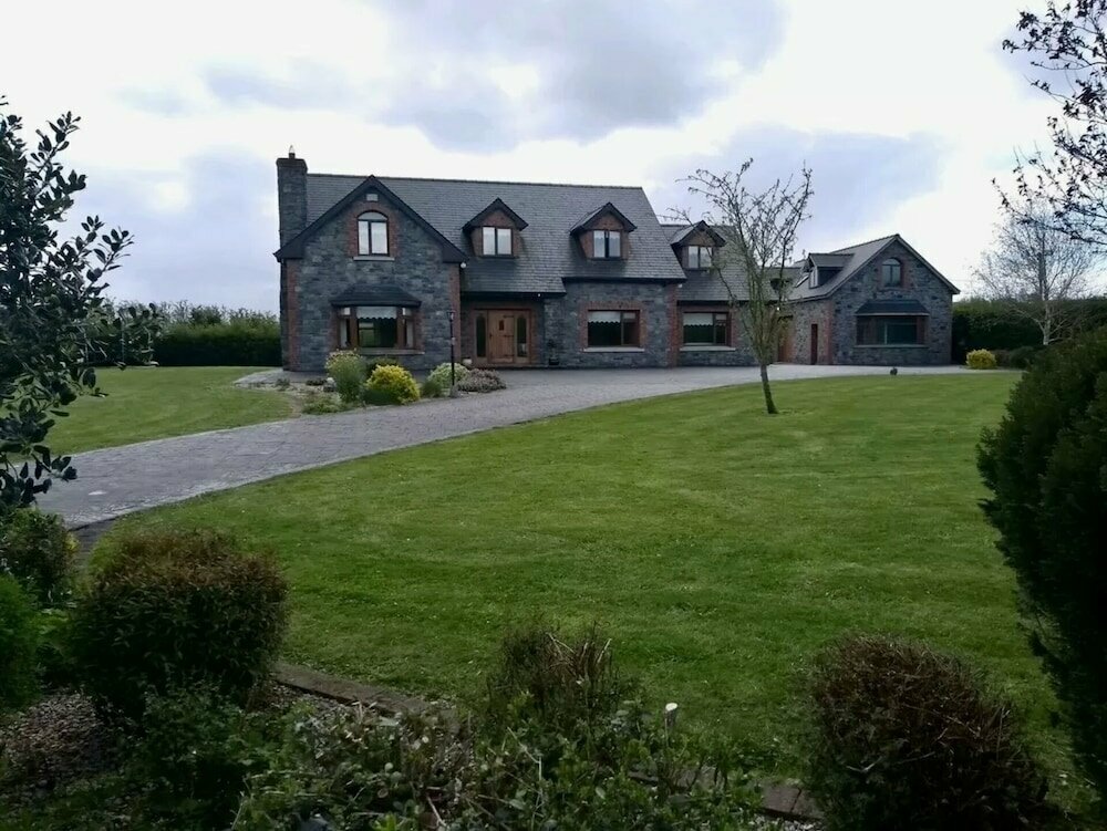 Carnagh LowerMountain / peak · 605 yd
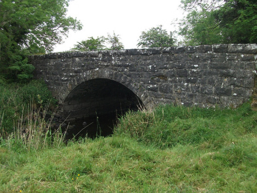 Kilsaran Bridgebridge · 921 yd
 Enclosure in Carnagh UpperEnclosure · 1419 yd
 CaveMan-made underground passage · 1.1 mi
 DrumhawnaghMountain / peak · 1.2 mi
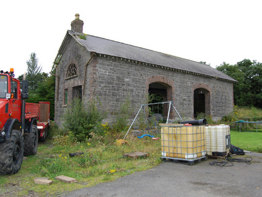 Drumhawnagh Stationgoods shed · 1.3 mi
 IdicatedCastle, unclassified · 1.9 mi
 Cornamucklagh WoodlandWood · 2.1 mi
 Scrabby IslandIslet · 2.8 mi
 Cloone Ho.Castle, unclassified · 3.1 mi
 Oghill Bog WoodWood · 3.2 mi
 Red IslandIslet · 4.0 mi