What is recorded here
Carnagarve holds a broad earthen ring around a bare circular field, marking a human dwelling reduced to a boundary line. The west side has surrendered its ancient ditch to a narrow modern drain, erasing the entrance and defeating every attempt to picture the door. People lived inside that circle before memory faded, building a wall high enough to keep out rain, wolves and perhaps envy. The fort no longer explains itself, but it still resists forgetting by remaining visible across the open ground.
Raised circular area (int. diam. c. 33m) enclosed by a substantial earthen bank and a wide fosse. From WSW-NW fosse has been replaced by a narrow modern drain and field bank. Original entrance not recognisable.
The above description is derived from the published 'Archaeological Inventory of County Cavan' (Dublin: Stationery Office, 1995). In certain instances the entries have been revised and updated in the light of recent research.
Date of upload/revision: 22 December 2008
The monument record does not grant public access. Check the route and ask the landowner before entering private land.
- What survives
- Recorded monument
Places near here
 CarnagarveMountain / peak · 426 yd
 CarnalynchMountain / peak · 1589 yd
 Tullynaskeagh WestForest · 1.2 mi
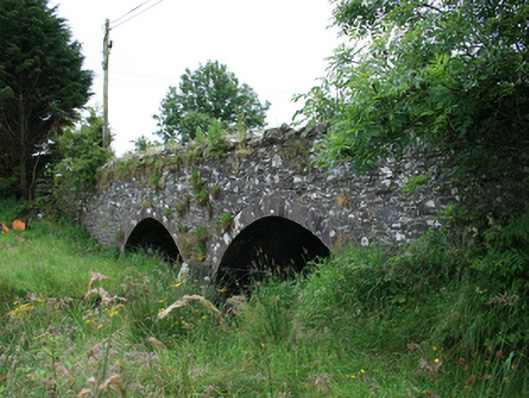 Wilton Bridgebridge · 1.4 mi
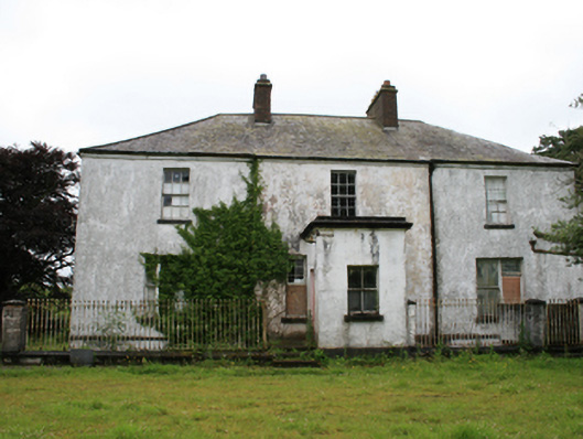 rectory/glebe/vicarage/curate's houserectory/glebe/vicarage/curate's house · 1.5 mi
 Tullynaskeagh EastForest · 1.7 mi
 IndicatedFairy fort / earthen ringfort · 1.8 mi
 Holy well in CrossbaneHoly well · 2.0 mi
 MoatCastle, motte and bailey · 2.0 mi
 Birthplace of General Philip SheridanMemorial · 2.0 mi
 CastleCastle, motte · 2.1 mi
 Brothers GravesVisitor information · 3.0 mi