What is recorded here
Fairy fort in Carn, County Longford: a 32m earthen ring on a low pasture ridge, its shallow bank broken at east-southeast as if admitting someone who knew the way. Cattle may have walked through that gap for centuries, wearing the old entrance into a farm track while the levelled west side disappeared under grass and cart wheels. The name keeps the fort company long after human hands stopped shaping it, suggesting that whatever lived there first never fully left.
On a low ridge in pasture. A raised circular area (diam. c. 32m) enclosed by a low bank of earth and stone (Wth 4.8m; H 0.4m max.) except from W-WNW-NNW where it has been levelled. A report in 1976 (SMR file) recorded traces of an external fosse, which has since been infilled. A break (Wth 3m) in the bank at ESE probably marks the original entrance.
Compiled by: Patrick F. O'Donovan
Date of upload: 26 August 2011
The monument record does not grant public access. Check the route and ask the landowner before entering private land.
- What survives
- Recorded monument
Places near here
 Enclosure in BallybegEnclosure · 736 yd
 CastleCastle, motte · 992 yd
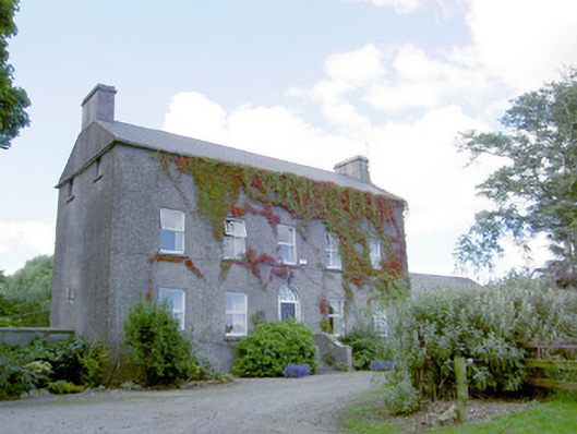 Richmount Hillhouse · 1038 yd
 Burnt spread in BallycloghanBurnt spread · 1444 yd
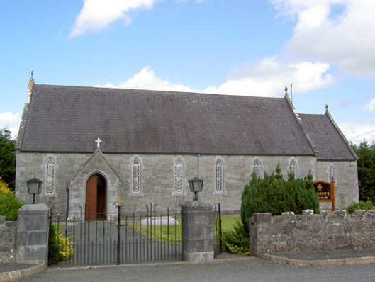 Saint Anne's Catholic Churchchurch/chapel · 1659 yd
 Druming Ho. (in ruins)Castle, unclassified · 1.5 mi
 Pedunculate OakPedunculate Oak · 3.0 mi
 National Famine WayWalking route · 3.1 mi
 Common AlderCommon Alder · 3.5 mi
 Abbeyshrule AbbeyRuins · 4.2 mi
 Goldsmith Birthplace, PallasVisitor information · 4.7 mi
 Newcastle WoodsForest · 4.9 mi