What is recorded here
Fairy fort in Carker, County Cork: a 40m earthen ring on an east-facing slope west of River Ogeen, with a 5m entrance and overgrown bank. Its interior was once planted with conifers, leaving stumps beside tillage. People may have lived, herded or hidden there before trees and fields changed the shape of memory.
In tillage, on E-facing slope, W of River Ogeen. Circular area (40m N-S; 39m E-W) enclosed by earthen bank (max. int. H 1.7m); external fosse (D 0.8m). Entrance (Wth 5m) to ESE. Bank heavily overgrown S->NNW. Interior once planted with coniferous trees, stumps remain; raised on E side to compensate for hillslope.
The above description is derived from the published 'Archaeological Inventory of County Cork. Volume 4: North Cork' (Dublin: Stationery Office, 2000). In certain instances the entries have been revised and updated in the light of recent research.
Date of upload/revision: 14 January 2009
The monument record does not grant public access. Check the route and ask the landowner before entering private land.
- What survives
- Recorded monument
Places near here
 Grave YardGraveyard · 661 yd
 Aglish Church (in Ruins)Church · 677 yd
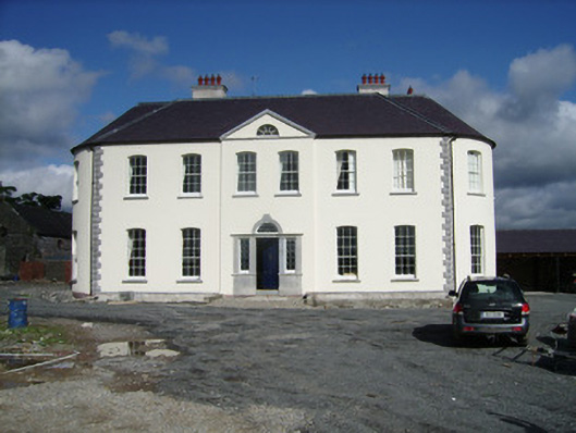 Carker Housecountry house · 778 yd
 CalvaryMonument · 1009 yd
 Shanagh Castle (Site of)Castle, unclassified · 1.6 mi
 Brough WoodWood · 1.8 mi
 CastlepookCastle · 1.9 mi
 Pedunculate OakPedunculate Oak · 2.0 mi
 Doneraile HouseHeritage attraction · 2.4 mi
 Smith's WellSpring · 2.4 mi
 Doneraile Courtornamental canal/lake · 2.4 mi
 Coolfree MountainMountain / peak · 4.9 mi