What is recorded here
Fairy forts are human ringforts misnamed later; this is a real rath on a Monaghan drumlin, with a broad earthen bank, outer ditch, and a partly closed entrance at the southeast. It may have held a farmstead, a refuge, or a small community during the medieval period, while local imagination later filled its empty centre with fairy tales. The grassy circle still stands complete enough to walk around, and that much is certain even when the stories are not.
Situated on the summit of a small NW-SE drumlin ridge. This is a circular grass-covered area (diam. 32.5m N-S; 31m E-W) defined by an overgrown earthen bank (Wth 6.8-7.2m; int. H 1-1.2m; ext. H 2-2.6m) and an outer fosse (Wth of top 3.4-4.4m; ext. D 0.2m at SE to 1m at NW). A modern earthen ledge is added to the outer base of the bank all around. The large entrance (Wth of base 4.1m) that is partly closed at SE is probably the original entrance.
The above description is derived from the published 'Archaeological Inventory of County Monaghan' (Dublin: Stationery Office, 1986). In certain instances the entries have been revised and updated in the light of recent research.
Revised by: Michael Moore
Date of revision: 1 February 2018
The monument record does not grant public access. Check the route and ask the landowner before entering private land.
- What survives
- Recorded monument
Places near here
 Burial ground in Shankill (cremorne By)Burial ground · 929 yd
 Fairy fort / earthen ringfort in CargaghogeFairy fort / earthen ringfort · 956 yd
 farmyard complexfarmyard complex · 1605 yd
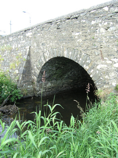 bridgebridge · 1.2 mi
 Sillan LakeshoreWood · 1.2 mi
 CarrickcreenyMountain / peak · 1.3 mi
 Bush IslandIslet · 1.4 mi
 Bawn in LisdrumskeaBawn · 1.4 mi
 Gull IslandIslet · 1.4 mi
 RaferaghMountain / peak · 2.1 mi
 Tally WoodWood · 3.1 mi
 Senator Billy Fox 1939 - 1974Memorial · 3.2 mi