What is recorded here
McCrea’s 1793 map and the 1834 Ordnance Survey both marked a thirty-metre circular fort on the NE-facing hill shelf at Cargaghoge, yet improved pasture has erased every visible trace. The land has swallowed the fort while memory keeps redrawing it.
Located on a shelf on the NE-facing slope of a broad hill with rock outcrop. An earthwork around this location at Cargaghoge is represented on McCrea’s Map of County Monaghan (1793), and a circular embanked enclosure (ext. diam. c. 30m) is depicted here on the 1834 edition of the OS 6-inch map where it is described in gothic lettering as a ‘fort’. A slight bend in a NE-SW field wall to the NW of the location is depicted on the 1907 edition. There is no visible evidence of an archaeological feature at ground level in improved pasture.
The above description is derived from the published 'Archaeological Inventory of County Monaghan' (Dublin: Stationery Office, 1986). In certain instances the entries have been revised and updated in the light of recent research.
Revised by: Michael Moore
Date of revision: 1 February 2018
The monument record does not grant public access. Check the route and ask the landowner before entering private land.
- What survives
- Recorded monument
Places near here
 Fairy fort / earthen ringfort in CargaghogeFairy fort / earthen ringfort · 678 yd
 Burial ground in Shankill (cremorne By)Burial ground · 942 yd
 farmyard complexfarmyard complex · 1550 yd
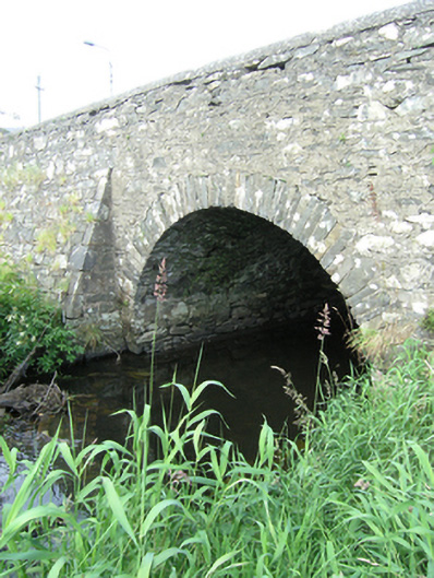 bridgebridge · 1.1 mi
 Sillan LakeshoreWood · 1.1 mi
 Bawn in LisdrumskeaBawn · 1.2 mi
 Bush IslandIslet · 1.2 mi
 CarrickcreenyMountain / peak · 1.2 mi
 Gull IslandIslet · 1.3 mi
 RaferaghMountain / peak · 2.0 mi
 Senator Billy Fox 1939 - 1974Memorial · 3.2 mi
 Tally WoodWood · 3.3 mi