What is recorded here
No wall or ditch remains of the Cappateige fort, only a faint level patch on a north-facing slope above Brandon Bay. The land itself has erased the boundary, leaving behind a subtle rise that challenges the memory of a defined place. What was built there has returned to the field, visible only when the eye stops expecting a monument and starts reading the ground.
No trace survives of the circular enclosure shown on the 1st edition of the OS map; it was named 'Fort' on the Fair Plan. It was situated on a N facing slope overlooking Brandon Bay about 50m E of a small stream. Its position is marked by a barely discernible level area which is raised slightly above the general level of the surrounding field on the downslope side.
The above description is derived from J. Cuppage, ‘Corca Dhuibhne. Dingle Peninsula archaeological survey. Ballyferriter. Oidhreacht Chorca Dhuibhne’ (1986), no. 649. In certain instances the entries have been revised and updated in the light of recent research.
Date of upload: 7 August 2013
The monument record does not grant public access. Check the route and ask the landowner before entering private land.
- What survives
- Recorded monument
Places near here
 Hillville WoodWood · 1568 yd
 Man-made underground passage in Ardbeg,gowlane (corkaguiny By.)Man-made underground passage · 1.1 mi
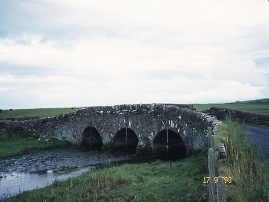 bridgebridge · 1.3 mi
 Site of CastleCastle, unclassified · 1.3 mi
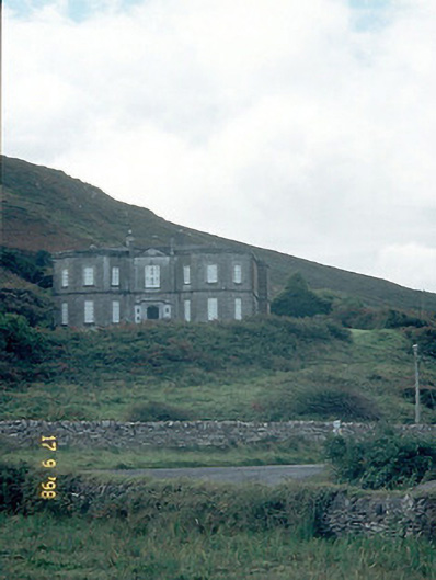 Fermoyle Househouse · 1.4 mi
 TobermurryHoly well · 1.4 mi
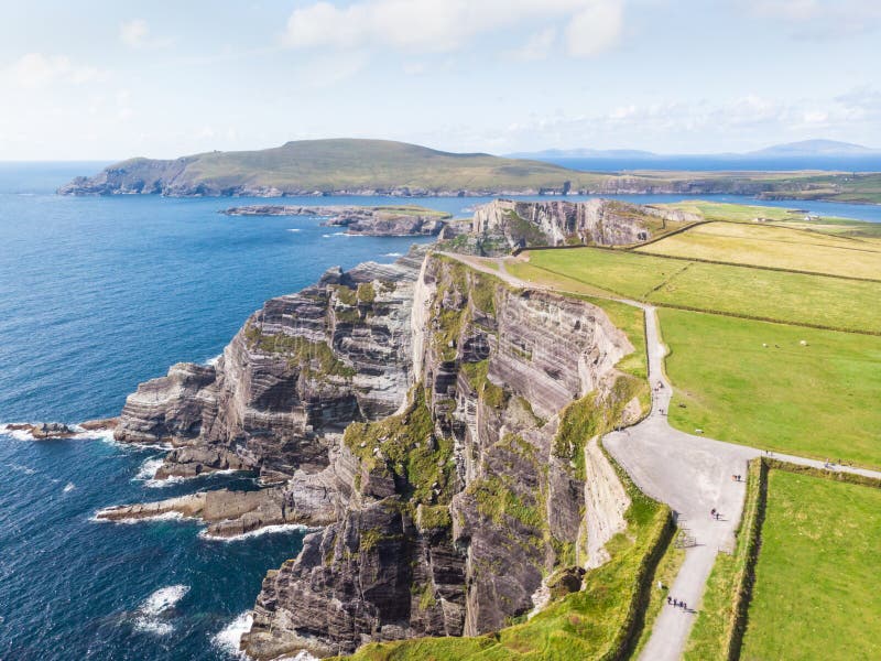 An Com BánMountain / peak · 1.6 mi
 Binn an TuairMountain / peak · 1.9 mi
 Drom BeachBeach / strand · 2.3 mi
 Fermoyle BeachBeach / strand · 2.4 mi
 IndicatedCastle, tower house · 2.5 mi
 An t'Oileán DubhIslet · 2.6 mi