What is recorded here
Situated on low lying pasture-land, 120m E of a stream which is a tributary of the Inny River. Bog 90m to N and 130m to W. Ringfort (WM006-047----) 140m to SE. A sub-circular area (approx. diam. 31m N-S; 30m E-W) enclosed by a poorly preserved earthen bank which has been levelled from W-N, and a wide shallow fosse (Wth 5m). The interior slopes slightly from NW-SE with traces of cultivation ridges running across the monument. A series of banks and depressions in the vicinity appear to be drainage features. This site is now surrounded by a forestry plantation visible on Digital Globe aerial photograph taken November 2011.
Compiled by: Frank Coyne & Caimin O'Brien
Date of upload: 30 January 2017
The monument record does not grant public access. Check the route and ask the landowner before entering private land.
- What survives
- Recorded monument
Places near here
 OutlinedEnclosure · 1069 yd
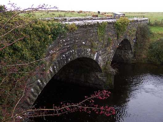 Ballinalack Bridgebridge · 1122 yd
 CastleCastle, motte and bailey · 1307 yd
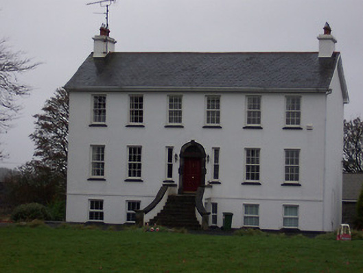 Ballinalack Househouse · 1366 yd
 Partially hachuredFairy fort / earthen ringfort · 1.8 mi
 Carrick CastleCastle · 1.9 mi
 Horse-chestnutHorse-chestnut · 3.0 mi
 Baronstown ForestWood · 3.0 mi
 Bridge Memorial (Kenna)Memorial · 3.5 mi
 Rock of CurryCliff · 8.8 mi
 Granard MotteMotte-and-bailey castle remains · 9.4 mi
 1798 Monumentmonument · 9.4 mi