What is recorded here
Camp is a circular earthen ringfort on the eastern slopes of Corrin mountain, overlooking the Finglas river valley and Tralee Bay. Its broad bank, shallow fosse and broken stone facings suggest a defended or ceremonial place rather than a ordinary farmstead. The small drystone chamber and oval hollow beside the bank hint that people may have cut, hidden or passed beneath the ridge, giving the fort a secretive life below its open view.
Internal diam. 18.4m
This circular univallate rath, situated on the E slopes of Corrin mountain, commands a panoramic view over the valley of the Finglas river and through the valley entrance to Tralee Bay. The earthen enclosing bank rises a maximum of 1.2m above the interior and 1.5m above the base of the fosse; it is 2.7m wide at base. Two stretches of stone facing are visible on the inner face at NW and SSW, preserved to a maximum height of .5m. The fosse is c. 2.3m wide and up to 1m deep below the external ground level. There has been some disturbance along the exterior of the bank in the E sector and the fosse can no longer be traced here. It is not clear which of the 3 breaks in the bank, at SSW, SSE and NE, represent the original entrance. Directly S of the latter break, the bank is very disturbed, but in the outer face is what appears to be a small, partly drystone-lined chamber measuring 1.7m N-W, .7m E-W and .75m in height; it is open to E. The function of this feature is not clear but it may be part of a Man-made underground passage. Directly inside the bank at this point there is an oval hollow measuring 6.5m NNW-SSE, 3.5m NNE-SSW and a maximum of .8m deep.
The above description is derived from J. Cuppage, ‘Corca Dhuibhne. Dingle Peninsula archaeological survey. Ballyferriter. Oidhreacht Chorca Dhuibhne’ (1986), no. 356. In certain instances the entries have been revised and updated in the light of recent research.
Date of upload: 6 August 2013
The monument record does not grant public access. Check the route and ask the landowner before entering private land.
- What survives
- Recorded monument
Places near here
 Faisr's GraveArchaeological place · 338 yd
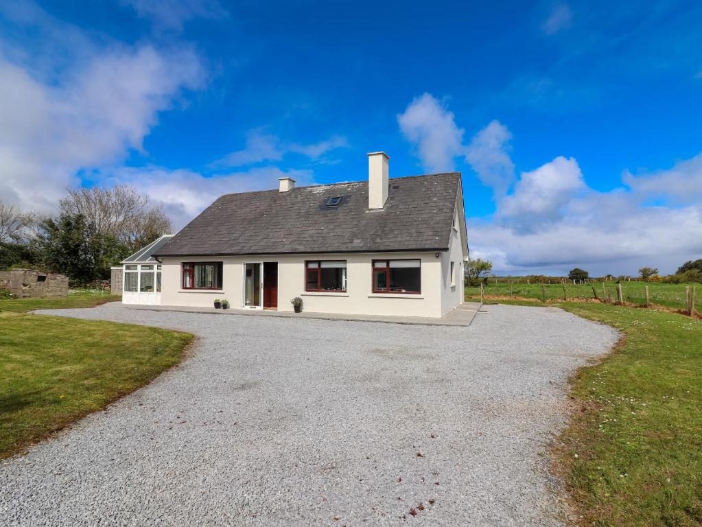 Man-made underground passage in Camp (corkaguiny By.)Man-made underground passage · 370 yd
 Site of Camp CastleCastle, unclassified · 702 yd
 Saint Mary's Catholic Churchchurch/chapel · 756 yd
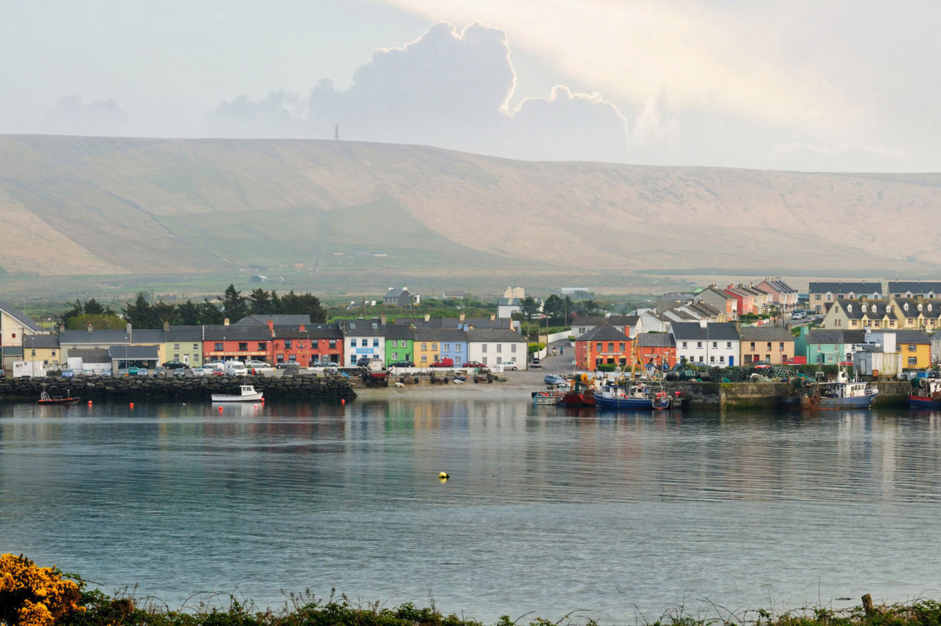 LisnaheirkaArchaeological place · 758 yd
 bridgebridge · 903 yd
 CastleCastle, unclassified · 1063 yd
 CorrinMountain / peak · 1550 yd
 Graveyard in Baile An Chnocáin (tc An Cnoc Glas)Graveyard · 1.1 mi
 KnockbrackMountain / peak · 2.3 mi
 Samphire Island LittleIslet · 4.1 mi
 Samphire IslandIslet · 4.4 mi