What is recorded here
Camp holds a broken earthen ring beside the Finglas river, its shallow bank still catching light on a slope that faces Tralee Bay. Inside the collapse, a hidden passage once ran toward the northeast, perhaps letting people move through the hill when storms closed the valley or fear tightened the world above. The field fence has bitten into the north edge, and the underground way has withdrawn from living memory, but the ring still stands as a chamber built for watching, hiding or remembering.
Internal diam. 23.5m N-S, 22.9m E-W
A univallate rath with Man-made underground passage situated on an E facing slope on the W side of the valley of the Finglas river. There are good, clear views in all directions along the valley and N to Tralee Bay. The earthen enclosing bank is faced internally with drystone masonry which survives to a maximum height of 1m but which has collapsed entirely in parts. Externally the bank ranges in height from .8m on the upslope side to 2.3m on the downslope side. A field fence runs along the crest of the bank in the N sector and collapse from this has obscured the outline of the bank in the interior; the outer face is also greatly disturbed. There are 2 possible entrances through the bank. To NW, directly S of the field fence, the bank is reduced in height to .3m and its stone facing turns outwards and lines the S edge of the gap for c. 0.8m; it is not certain that this was an entrance. A more substantial break, 2.1m wide, occurs at SSE.
A stone-lined depression, a little N of centre, marks the location of a Man-made underground passage which appears to continue in a NE direction but which is not now accessible. A probable air-vent opens onto the outer face of the bank at NE, c. 0.6m above the present ground surface.
The above description is derived from J. Cuppage, ‘Corca Dhuibhne. Dingle Peninsula archaeological survey. Ballyferriter. Oidhreacht Chorca Dhuibhne’ (1986), no. 357. In certain instances the entries have been revised and updated in the light of recent research.
Date of upload: 6 August 2013
A univallate earthen ringfort (fairy fort) with an internal diameter of approximately 23.5m N-S and 22.9m E-W, situated on an east-facing slope near the Finglas River. Likely dating to the early medieval period, it is associated with local folklore referring to it as a "fairy fort," reflecting the common Irish tradition linking such sites to supernatural or otherworldly beings.
The monument record does not grant public access. Check the route and ask the landowner before entering private land.
- What survives
- Recorded monument
Places near here
 Site of Camp CastleCastle, unclassified · 146 yd
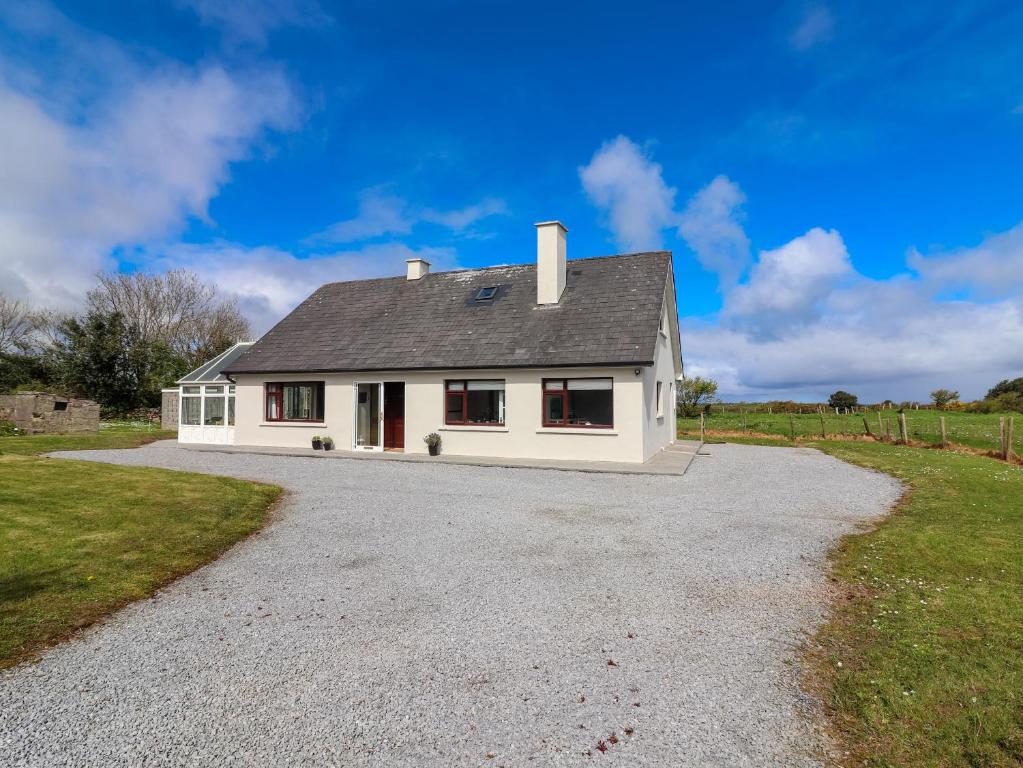 Man-made underground passage in Camp (corkaguiny By.)Man-made underground passage · 282 yd
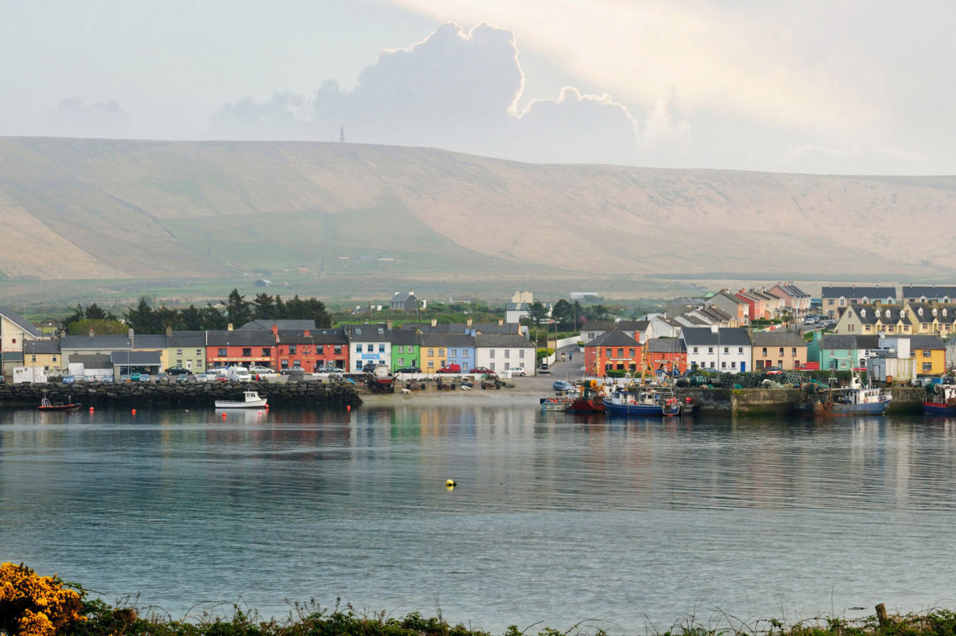 LisnaheirkaArchaeological place · 295 yd
 Saint Mary's Catholic Churchchurch/chapel · 339 yd
 bridgebridge · 351 yd
 Faisr's GraveArchaeological place · 426 yd
 CastleCastle, unclassified · 1034 yd
 Graveyard in Baile An Chnocáin (tc An Cnoc Glas)Graveyard · 1689 yd
 CorrinMountain / peak · 1.2 mi
 GearhaneMountain / peak · 2.2 mi
 Samphire Island LittleIslet · 3.8 mi
 Samphire IslandIslet · 4.1 mi