What is recorded here
Camp holds a broken earthen ring on the eastern slopes of Corrin mountain, watching the Finglas valley and distant Tralee Bay. Its northern bank has vanished into field fences, but a stone-lined hollow and buried passage still mark the interior. The fort is small enough to walk around in minutes yet large enough to suggest people lived there, watched the water, and disappeared into the landscape.
Internal diam. 20m E-W, at least 20.3m N-S
A univallate rath with Man-made underground passage situated on the E slopes of Corrin mountain near the entrance to the valley of the Finglas river. It commands an extensive view from Tralee Bay in the N to Caherconree in the SE. The N and NW sectors of the enclosing bank have been removed and are replaced by 2 field fences running N-S and E-W. These probably lie slightly inside the original line of the bank. The remaining bank is a maximum of 1.5m high externally and .6m internally; it varies in width at base from 2.5 to 3.5m. A large gap in the bank at E measures 3 to 4m in width. There is also a 1 to 2m wide gap between the E end of the bank and the N field boundary.
An oval, stone-lined hollow is located a little W of centre in the interior. It measures 2m x 3.5m c. 1m deep and is open to E. Three capstones of a Man-made underground passage are exposed 2m to NNW of the latter feature. The passage thus indicated is c. 0.75m wide and runs NNW-SSE for c. 3m. Three large boulders, visible on the outer face of the bank due S of the latter, may be related to a continuation of the Man-made underground passage.
The above description is derived from J. Cuppage, ‘Corca Dhuibhne. Dingle Peninsula archaeological survey. Ballyferriter. Oidhreacht Chorca Dhuibhne’ (1986), no. 358. In certain instances the entries have been revised and updated in the light of recent research.
Date of upload: 6 August 2013
A univallate earthen ringfort (rath) with an internal diameter of approximately 20–20.3 meters, situated on the eastern slopes of Corrin Mountain near the Finglas River valley in County Cork. Likely of early-medieval origin, it is associated with local folklore as a fairy fort, and its strategic location suggests it may have had both defensive and ritual significance.
The monument record does not grant public access. Check the route and ask the landowner before entering private land.
- What survives
- Recorded monument
Places near here
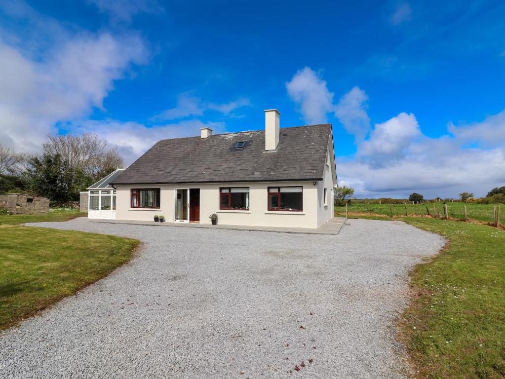 Man-made underground passage in Camp (corkaguiny By.)Man-made underground passage · 2 yd
 Saint Mary's Catholic Churchchurch/chapel · 386 yd
 Site of Camp CastleCastle, unclassified · 392 yd
 Faisr's GraveArchaeological place · 435 yd
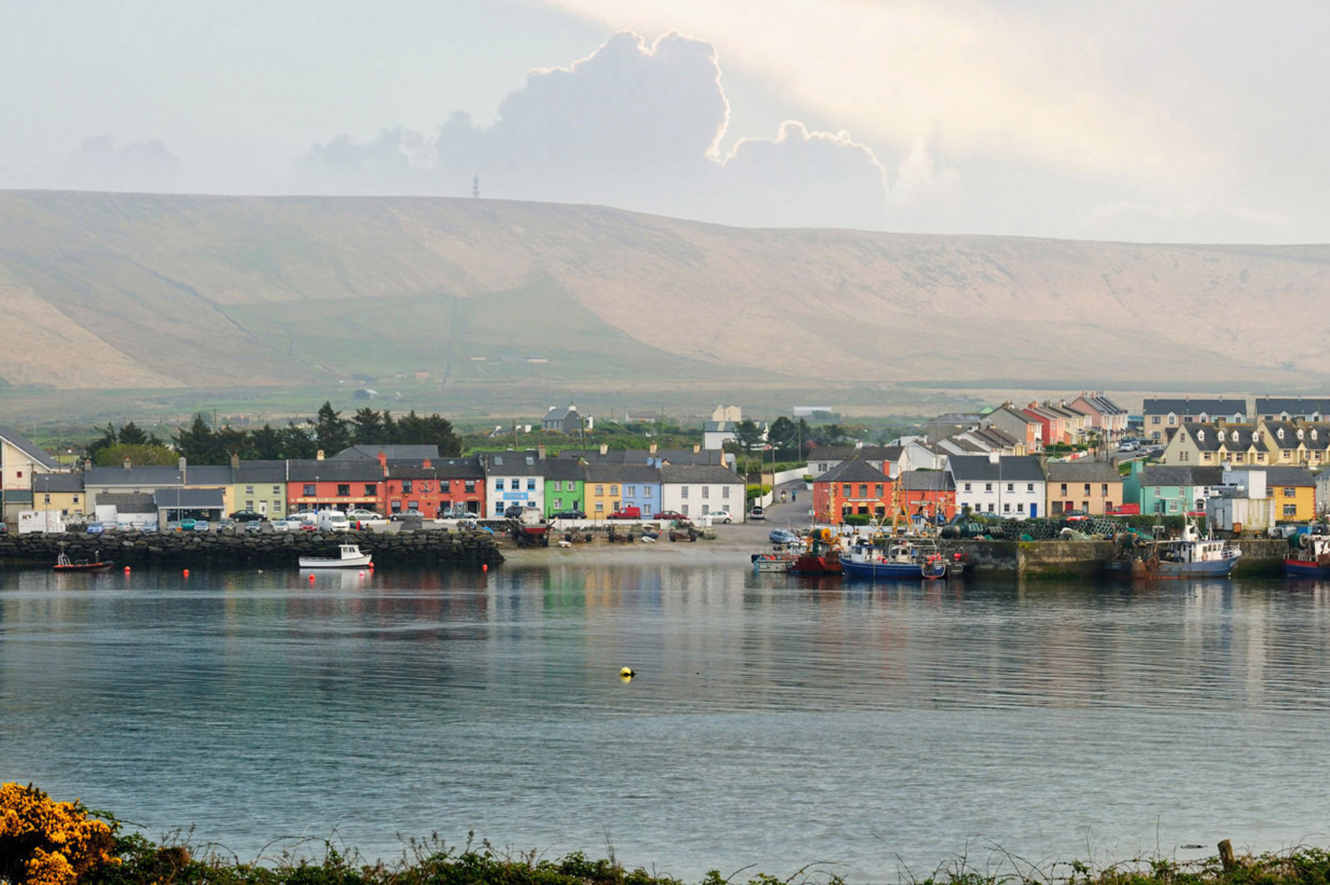 LisnaheirkaArchaeological place · 564 yd
 bridgebridge · 622 yd
 CastleCastle, unclassified · 1172 yd
 Graveyard in Baile An Chnocáin (tc An Cnoc Glas)Graveyard · 1663 yd
 CorrinMountain / peak · 1.1 mi
 GearhaneMountain / peak · 2.4 mi
 Samphire Island LittleIslet · 3.9 mi
 Samphire IslandIslet · 4.2 mi