What is recorded here
Fairy fort / earthen ringfort in Camcuill is a fairy fort or earthen ringfort in Camcuill, County Sligo, Ireland. It occupies the south end of a low ridge west of the Easky River, forming a slightly raised circular area enclosed by a denuded earth and stone bank. A shallow external fosse surrounds the structure, with a low counterscarp bank visible at the east and south edges. Inside the enclosure remain short low banks, a subrectangular hut site, and the foundation of a rectangular stone building.
Situated at the S end of a low ridge a short distance W of the Easky River. Slightly raised circular area (39.25m N-S; 37.5m E-W) enclosed by a much denuded, low bank (Wth 2.5m; int. H 0.2-0.5m) of earth and stone with an external fosse (Wth 1m; D 0.3m) which has been infilled at SW. At the outer lip of the fosse at E and S is a low counterscarp bank (Wth 1.5m; ext. H 0.2m). Within the enclosed area are a number of short lengths of low banks of uncertain antiquity. At the inner face of the bank at NNW is a subrectangular hut site (SL017-019002-). Within the SW quadrant are the remains of an apparently stone-built rectangular building (SL017-019003-).
Compiled by: Patrick F. O'Donovan
Date of upload: 19 January 2011
The monument record does not grant public access. Check the route and ask the landowner before entering private land.
- What survives
- Recorded monument
Places near here
 Camphill Househouse · 325 yd
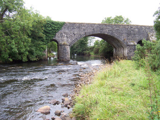 bridgebridge · 661 yd
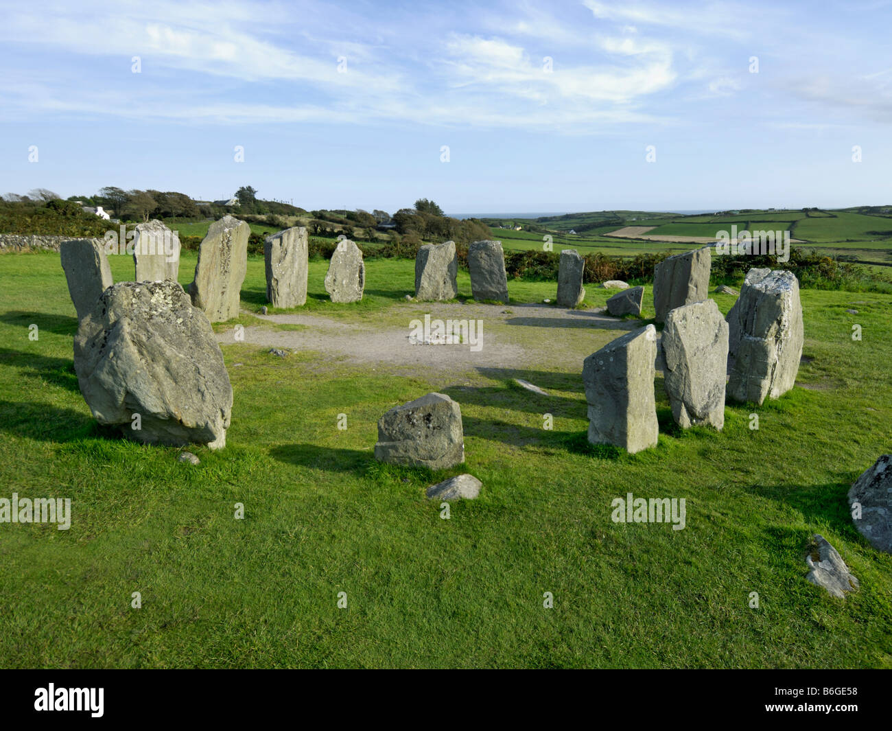 Druids AltarArchaeological place · 740 yd
 IndicatedFairy fort / earthen ringfort · 796 yd
 Ballynahowna CastleCastle, tower house · 1267 yd
 Site of Dunneill CastleCastle, unclassified · 2.0 mi
 Split RockNamed rock · 2.4 mi
 DonaghHeadland · 3.2 mi
 Jim Smith MemorialMemorial · 3.7 mi
 Wild Atlantic Way: Easky PierVisitor information · 3.8 mi
 Wild Atlantic Way: Inishcrone PierVisitor information · 7.2 mi
 Grave of the Black PigArchaeological place · 7.3 mi