What is recorded here
Half-hidden grass and forgotten shape, the fort still holds its line on the drumlin slope. People may have lived inside that bank before memory faded, yet the land kept the shape while naming it fairy.
Situated just off the crest of the E-facing slope of a drumlin. This is a grass-covered circular area (diam. 34.6m N-S; 32m E-W) that slopes down to the SE (H 1.8m), which is defined by an overgrown earthen bank, best preserved W-N (at N: Wth of base 6.8m; int. H 1.3m; ext. H2.1m), but the perimeter is reduced to a scarp at S (H 2.1m). There is a slight outer fosse (at N: Wth 3.4m; ext. D 0.2m) NW-N that morphs into a berm N-NE but is absent elsewhere. The entrance (Wth of base 3.4m) is at SE. The interior has become overgrown since 1967 (Bing 2013).
The above description is derived from the published 'Archaeological Inventory of County Monaghan' (Dublin: Stationery Office, 1986). In certain instances the entries have been revised and updated in the light of recent research.
Date of revision: 25 August 2017
The monument record does not grant public access. Check the route and ask the landowner before entering private land.
- What survives
- Recorded monument
Places near here
 Mass-rock in Camaghy,tonaneeveMass-rock · 173 yd
 Drumerlough MoreMountain / peak · 885 yd
 The Gleberectory/glebe/vicarage/curate's house · 1117 yd
 Chruch YardGraveyard · 1435 yd
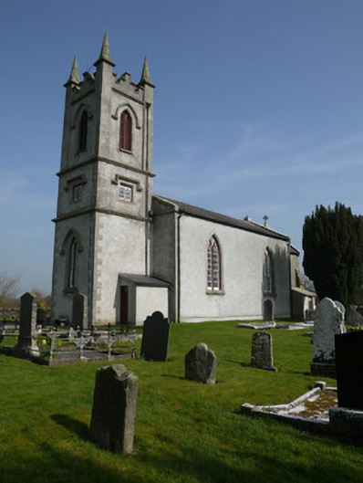 Saint Molua's Church (Magheracloone)church/chapel · 1448 yd
 Horse-chestnutHorse-chestnut · 1.9 mi
 Castle ruinsCastle, unclassified · 2.0 mi
 Natural Play AreaMemorial · 2.0 mi
 Giants GraveArchaeological place · 2.0 mi
 Dún a Rí Forest ParkForest · 2.2 mi
 CabraMountain / peak · 2.3 mi
 Castle in ruinsCastle, unclassified · 3.8 mi