What is recorded here
On top of a low hillock with good views in all directions. Poorly preserved ringfort consisting of a roughly circular area (diam. 38m N-S; 37m E-W) defined by faint traces of a low earthen bank that has been mainly levelled, a circular growth of nettles indicates the existence of a filled in fosse. A post-1700 field boundary running E-W cuts across the N edge of the ringfort. No entrance feature visible.
Compiled by: Caimin O’Brien
Date of upload: 31 July 2013
The monument record does not grant public access. Check the route and ask the landowner before entering private land.
- What survives
- Recorded monument
Places near here
 Calverstown Houseoutbuilding · 597 yd
 Partially hachuredFairy fort / earthen ringfort · 609 yd
 OutlinedEnclosure · 1375 yd
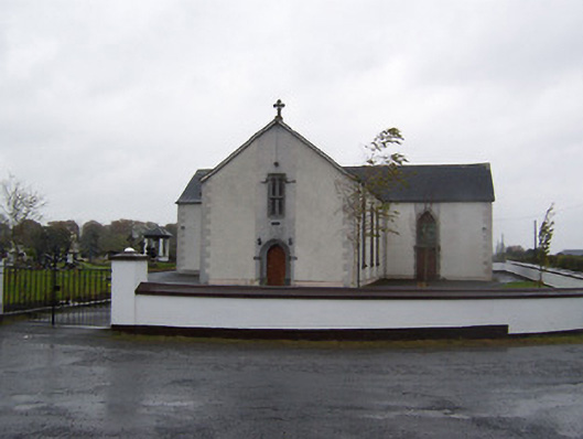 Catholic Church of the Sacred Heartchurch/chapel · 1574 yd
 Robinstown CastleCastle · 1.7 mi
 CastleCastle, tower house · 2.1 mi
 Dysart IslandIsland · 3.3 mi
 Ash IslandIslet · 3.6 mi
 Ardan WoodWood · 5.3 mi
 Derrygreenagh HillMountain / peak · 5.5 mi
 Bonfire HillMountain / peak · 6.0 mi
 Ancient Ring FortWood · 6.7 mi