What is recorded here
In pasture, on N facing slope at base of a ridge. Ringforts (WM033-026----; WM033-023----) located 330m and 350m to S and SW respectively. Roughly circular-shaped area (diam. 36.8m N-S; 43.6m E-W) enclosed by a low earthen bank best preserved from N-E, shallow poorly preserved fosse and traces of an external bank that has been levelled at NE. No entrance feature visible. Ringfort is bisected by a townland boundary fence running N-S through the centre of the monument. E half of monument depicted as a semi-circular curving tree lined field bank on the 1818 Boyd Belvedere Map of Kilbrennan townland (WCL/M/BBE/6).
Compiled by: Caimin O’Brien
Date of upload: 31 July 2013
The monument record does not grant public access. Check the route and ask the landowner before entering private land.
- What survives
- Recorded monument
Places near here
 Partially hachuredFairy fort / earthen ringfort · 448 yd
 OutlinedEnclosure · 1131 yd
 Calverstown Houseoutbuilding · 1512 yd
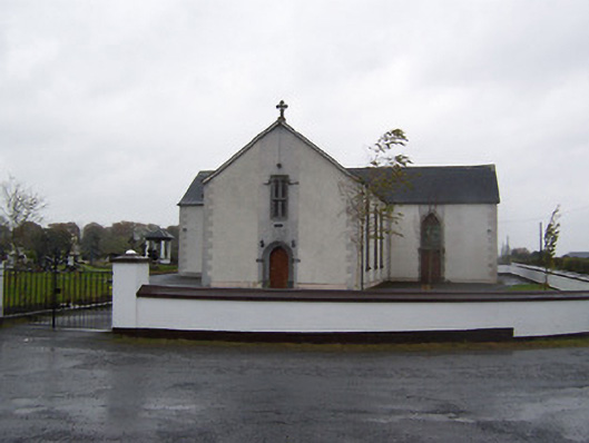 Catholic Church of the Sacred Heartchurch/chapel · 1.2 mi
 CastleCastle, tower house · 1.5 mi
 Robinstown CastleCastle · 1.5 mi
 Dysart IslandIsland · 3.2 mi
 Ash IslandIslet · 3.5 mi
 Derrygreenagh HillMountain / peak · 5.4 mi
 Ardan WoodWood · 5.8 mi
 Bonfire HillMountain / peak · 6.5 mi
 Ancient Ring FortWood · 6.7 mi