What is recorded here
A waterlogged fosse circles a broad earth platform in wet lowland, forcing every visitor across a narrow north-east causeway while a hidden spring feeds a pond at the south-west edge. The fort has no proud stone wall or sharp defensive bank, but it uses depth, distance and drowning water to control approach. People may have lived there, fled there or simply avoided the mud that swallows the wrong step.
Monument described by O'Kelly (1942-3, 233) as following; 'This consists of a circular platform of earth. There is no bank at its edge. It is surrounded by a fosse which is water-logged. The entrance is on the north-east side where there is a causeway leading on to the platform. Immediately to the south-west and just outside the fosse is a small pond fed from an underground spring. The platform is 4' [1.2m] high over the fosse-bottom and the overall diameter is 165' [50m]. It is situated in wet low-land'.
The monument record does not grant public access. Check the route and ask the landowner before entering private land.
- What survives
- Recorded monument
Places near here
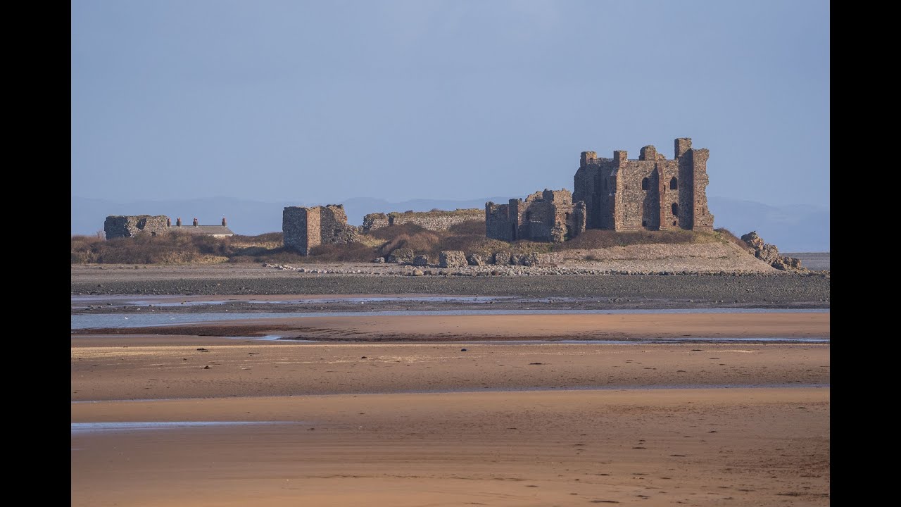 BarrowBarrow, ditch barrow · 414 yd
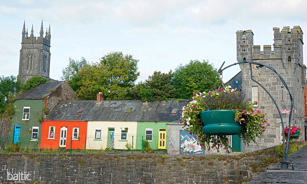 Indicated, GlebeHouse, indeterminate date · 636 yd
 Mound in Cahirguillamore (coshma By.)Mound · 641 yd
 RoadRoad, road/trackway · 1211 yd
 Glenogra Castle (in ruins)Castle, Anglo-Norman masonry castle · 1752 yd
 CastleCastle, unclassified · 1.2 mi
 Lough GurVisitor information · 1.7 mi
 Grange Stone CircleArchaeological place · 1.7 mi
 Banoge's WellSpring · 2.4 mi
 European ashEuropean ash · 3.8 mi
 Villiers WellSpring · 3.9 mi
 KnockainyMountain / peak · 5.3 mi