What is recorded here
No visible fort remains in Cahermee, though a roadway cut the north side and farming levelled much of the circle. The name may carry Mee, a forgotten person or place, while the land keeps a narrower share of the story. What is left is a wide view, a broken line in pasture, and the chance that a fort once stood there.
In pasture, atop hillock, commanding extensive views in all directions. Depicted as hachured roughly circular enclosure (diam. c. 60m) on 1842 OS 6-inch map, truncated to N by roadway; shown as bivallate on 1906 and 1937 OS 6-inch maps. Levelled; portion of defences remains to E, with traces of bank to N on opposite side of roadway. To E, inner earthen bank (int. H 0.25m; ext. H 2.4m) survives ENE->ESE, with intervening fosse (D 0.1m; Wth 3.8m) and outer earthen bank (int. H 0.7m; ext. H 0.7m); some stone facing remains on inner bank and inner face of outer bank. Subcircular enclosure visible in aerial photograph (GSIAP, R689) taken May 1977, appeared to be then upstanding. Jones (1902, 239) states that 'Cahirmee, anciently Kohirvee, means stone fort of Mee'.
The above description is derived from the published 'Archaeological Inventory of County Cork. Volume 4: North Cork' (Dublin: Stationery Office, 2000). In certain instances the entries have been revised and updated in the light of recent research.
Date of upload/revision: 14 January 2009
This monument is subject to a preservation order made under the National Monuments Acts 1930 to 2014 (PO no. 3/1972).
A fairy fort or earthen ringfort in Cahermee, likely an early-medieval agricultural or defensive site, is situated on a prominent hillock with extensive views. It is associated with local folklore surrounding fairies and other supernatural beings, common to many such sites in Ireland.
The monument record does not grant public access. Check the route and ask the landowner before entering private land.
- What survives
- Recorded monument
Places near here
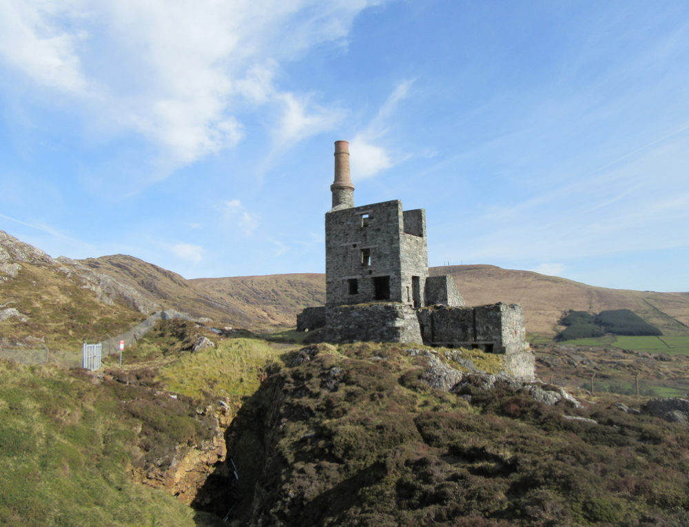 Quarry in CahermeeQuarry · 120 yd
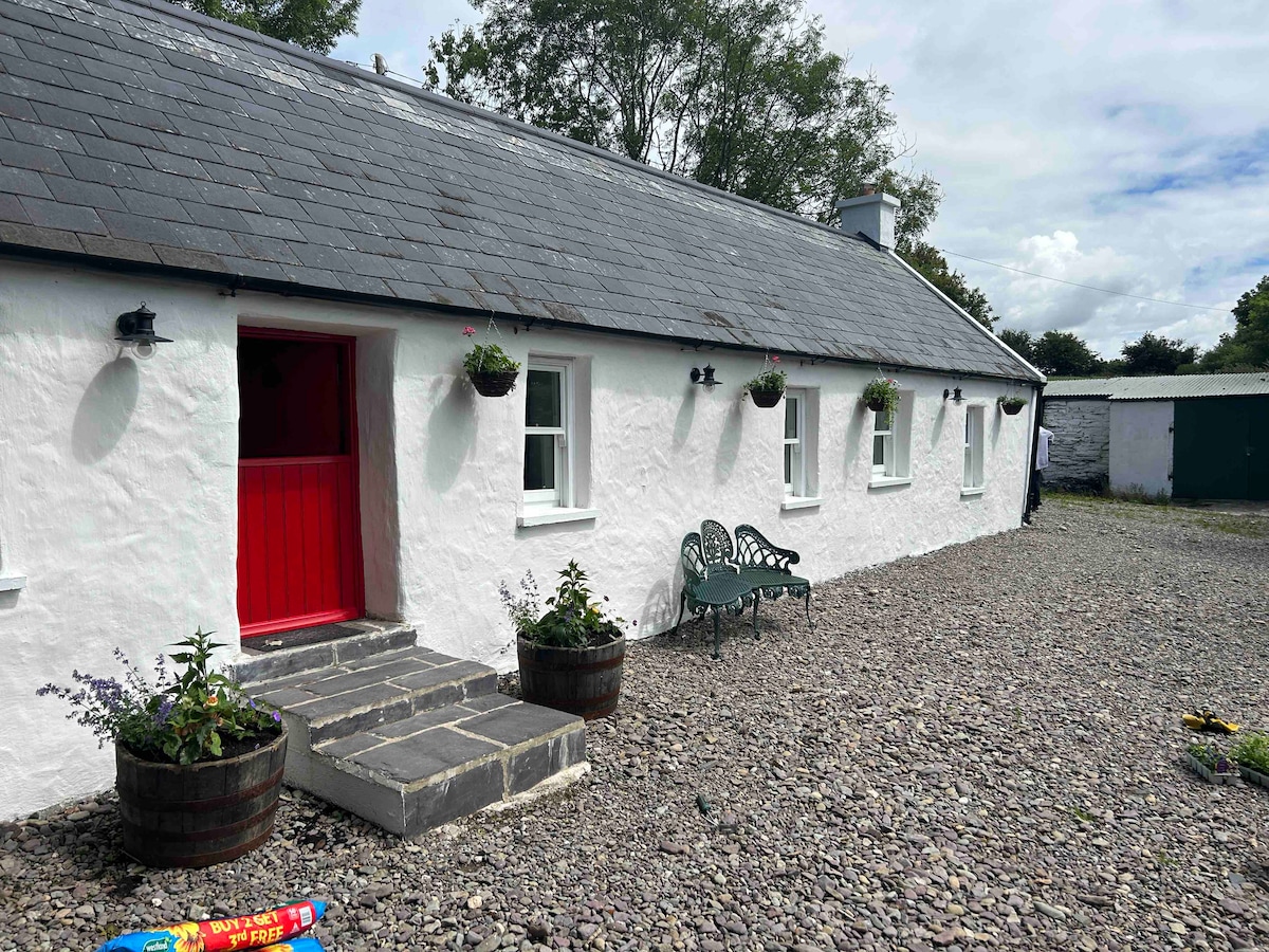 Cahermee HouseCountry house · 503 yd
 CastleCastle, unclassified · 514 yd
 Enclosure in Knockanare (orrery and Kilmore By.)Enclosure · 565 yd
 Ducks WellHoly well · 651 yd
 Caherduggan Castle (Site of)Castle, unclassified · 1.6 mi
 Charles BunworthMemorial · 1.7 mi
 Smith's WellSpring · 1.8 mi
 SycamoreSycamore · 1.8 mi
 David HurleyMemorial · 1.8 mi
 Doneraile HouseHeritage attraction · 2.1 mi
 European YewEuropean Yew · 2.2 mi