What is recorded here
Caherelly East holds a sub-circular ringfort barely twenty metres across, its scarped edge reduced to a low ridge beneath modern pasture. The eastern arc vanished under a drain and field boundary, while a faint external fosse still traces the southern and western curves. Cattle graze the interior as if the ancient division never existed, turning a fortified home into ordinary ground. What was once a defended threshold has become a shallow breath in the field, visible only when light rakes the grass at a angle.
In level pasture. Sub-circular area (21m NNW-SSE; 17m ENE-WSW) defined by the remains of a partially levelled scarped edge (H 0.45m; Wth 4.2m). Eastern arc truncated by drain and field boundary NE-ESE. Traces of external fosse (basal Wth 4.5m; total Wth 9.5m; D 0.2m) SE-WNW. Interior level and monument is incorporated into rest of field as pasture.
Compiled by: Denis Power
Date of upload: 12 November 2013
The monument record does not grant public access. Check the route and ask the landowner before entering private land.
- What survives
- Recorded monument
Places near here
 BarrowBarrow, ring-barrow · 582 yd
 Enclosure in Ballybricken EastEnclosure · 804 yd
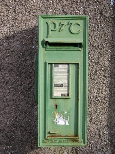 post boxpost box · 865 yd
 Ballybricken Court (in ruins)Castle, tower house · 1172 yd
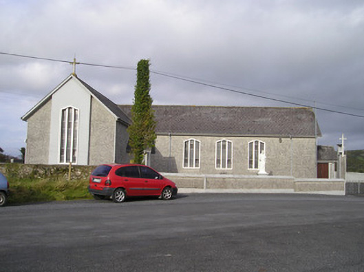 Saint Ailbe's Catholic Churchchurch/chapel · 1578 yd
 CastleCastle, unclassified · 1.1 mi
 St Lawrence's WellSpring · 1.8 mi
 St. Patrick's WellSpring · 4.8 mi
 Kilteely HillMountain / peak · 5.0 mi
 KnockseefinMountain / peak · 5.6 mi
 Graveyard in AbingtonGraveyard · 5.6 mi
 Flat cemetery in Knockainy WestFlat cemetery · 6.6 mi