
What is recorded here
On poorly drained grassland. Enclosure (LI023-345----) 115m to NE. The mound is not depicted on historic OSi maps but is clearly visible on OSi orthoimage taken 2005-12. Identified by Bruff aerial photographic survey in 1986 (Bruff 17301: AP 4/3710AP) as a mound which appears to be surrounded by a fosse (ext. diam. c. 8m). The mound is visible on Google Earth orthoimages taken 05/04/2006 and 28/06/2018.
See attached Bruff survey image showing the enclosure labelled Bruff 17301 and Google Earth orthoimages
Compiled by: Edmond O’Donovan
Date of upload: 1 September 2020
The monument record does not grant public access. Check the route and ask the landowner before entering private land.
- What survives
- Recorded monument
Places near here
 Enclosure in Ballybricken EastEnclosure · 432 yd
 Field system in BallyhoodaneField system · 787 yd
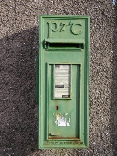 post boxpost box · 920 yd
 CastleCastle, unclassified · 1317 yd
 Ballybricken Court (in ruins)Castle, tower house · 1336 yd
 RoadRoad, road/trackway · 1444 yd
 St Lawrence's WellSpring · 1.5 mi
 Wych ElmWych Elm · 1.9 mi
 St. Patrick's WellSpring · 5.0 mi
 Kilteely HillMountain / peak · 5.2 mi
 Graveyard in AbingtonGraveyard · 5.4 mi
 KnockseefinMountain / peak · 5.6 mi
Other information
Photo: Credit not shown in the picture search · Rights wording not checked; contact us if this picture should be removed