What is recorded here
Fairy forts are human buildings misnamed, often because people stopped asking questions and started repeating wonder. Caheratrim is a circular rath in level Galway grassland, about thirty-two metres across, with two banks, a fosse between them, and a raised interior. A field wall now cuts through it at the southeast and southwest, but the old shape still reads clearly in the land.
In level grassland. Circular rath (diam. 32m), in fair condition, defined by two banks and an
intervening fosse. Traces of stone-facing are visible on the external face of the inner bank. A field wall cuts the monument at SE and SW. The interior is raised above the surrounding field level.
Compiled by: Galway Archaeological Survey, UCG
Date of upload: 9 January 2017
The monument record does not grant public access. Check the route and ask the landowner before entering private land.
- What survives
- Recorded monument
Places near here
 Enclosure in Burroge (loughrea By.)Enclosure · 875 yd
 CaveMan-made underground passage · 1061 yd
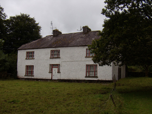 Abbeyville Househouse · 1179 yd
 Old R.C. ChapelChapel · 1619 yd
 Site of CastleCastle, unclassified · 1645 yd
 Ash IslandIslet · 1.4 mi
 Island McCooIslet · 1.7 mi
 Long PointHeadland · 2.0 mi
 CastleCastle, tower house · 2.1 mi
 Scalpeen RockNamed rock · 3.0 mi
 KnockapollboyMountain / peak · 4.6 mi
 KnocknamonaMountain / peak · 6.4 mi