
What is recorded here
Within the NE quadrant of a rath (GA115-016----). This inaccessible drystone-built Man-made underground passage (L >20m) is apparently L-shaped in plan. Some roof lintels have collapsed along the length of its long axis (L 14m; Wth 1.8m), which runs E-W, allowing a visual inspection of the passage; it is partially filled with collapse. The short axis (L c. 6m), extending from its SW end, runs N-S. Its extent was calculated by probing the ground surface.
Compiled by: Galway Archaeological Survey, UCG
Date of upload: 9 January 2017
The monument record does not grant public access. Check the route and ask the landowner before entering private land.
- What survives
- Recorded monument
Places near here
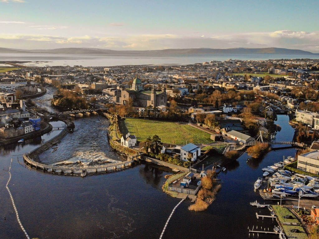 IndicatedFairy fort / stone ringfort · 862 yd
 Site of CastleCastle, unclassified · 1012 yd
 Fulacht fia in BallycoonyFulacht fia · 1100 yd
 Soldier's Bridgebridge · 1.2 mi
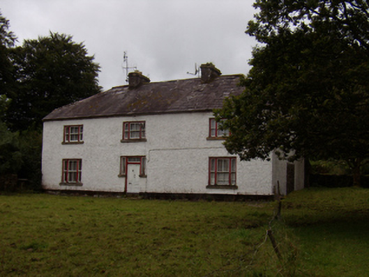 Abbeyville Househouse · 1.3 mi
 CastleCastle, tower house · 1.9 mi
 Ash IslandIslet · 1.9 mi
 Island McCooIslet · 2.3 mi
 Long PointHeadland · 2.6 mi
 Scalpeen RockNamed rock · 2.7 mi
 KnockapollboyMountain / peak · 4.2 mi
 Enclosure in Burroge (loughrea By.)Enclosure · 1.0 mi
Other information
Photo: Credit not shown in the picture search · Rights wording not checked; contact us if this picture should be removed