
What is recorded here
Ballycoony castle stood on a limestone outcrop in 1574, but time and perhaps deliberate destruction reduced it to a grass-covered mound. The stone and mortar still whisper beneath the soil, waiting for someone to listen. What remains is enough to imagine the shape of the room, the heat of the hearth, and the hands that built it before forgetting took the rest.
On limestone outcrop in low-lying farmland. In existence in 1574 (Nolan 1901, 112) and described in the OS Letters (O'Flanagan 1927, Vol. 2, 29-30) as the 'ruin of a castle'. On the 1837 edition of the OS 6-inch map a roughly subrectangular field, subdivided by another N-S running field wall, is labelled 'Site of Castle'. On the subsequent 1929 revision of map edition, 'Castle (Site of)' is shown on a small mound that occupies the E half of a raised rectangular area indicated by hachures. All that now remains is a large grass-covered mound, roughly subcircular in plan (31m NE-SW, 28.3m NW-SE). This may be partly natural: limestone is exposed on the SW side where the mound stands up to 5.25m in height. However, traces of stone and mortar are exposed in places.
Compiled by: Galway Archaeological Survey, UCG
Date of upload: 18 August 2021
The monument record does not grant public access. Check the route and ask the landowner before entering private land.
- What survives
- Recorded monument
Places near here
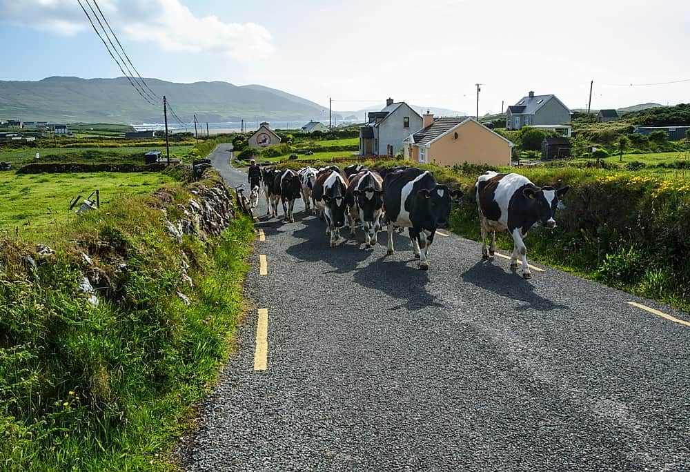 Fulacht fia in BallycoonyFulacht fia · 108 yd
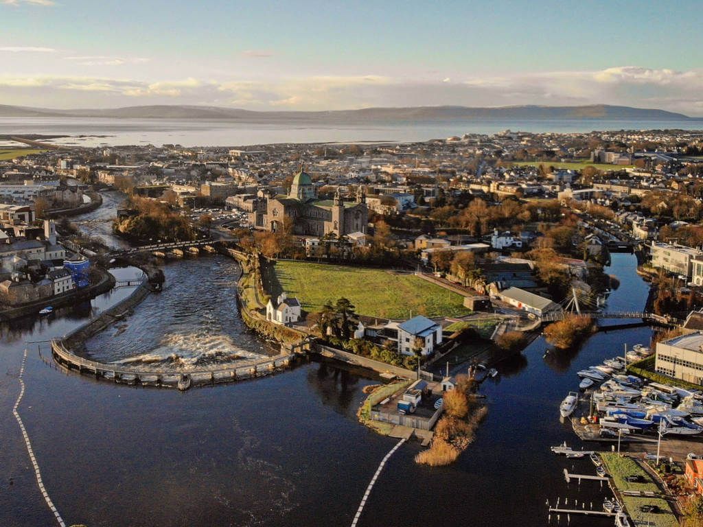 IndicatedFairy fort / stone ringfort · 634 yd
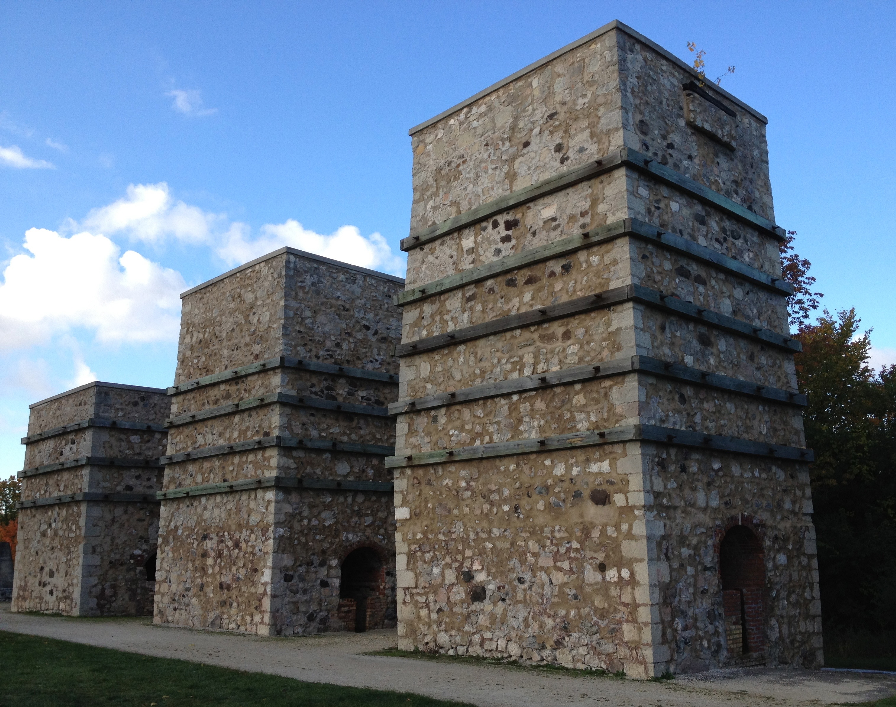 KilnKiln, lime · 1301 yd
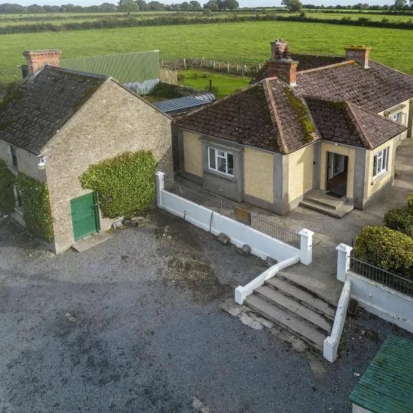 Ballingarry Ho.Country house · 1563 yd
 CastleCastle, tower house · 1.3 mi
 Ash IslandIslet · 1.8 mi
 Blake's IslandIslet · 2.2 mi
 Site of Cloonoo CastleCastle, unclassified · 2.4 mi
 Long PointHeadland · 2.6 mi
 Scalpeen RockNamed rock · 3.1 mi
 KnockapollboyMountain / peak · 4.5 mi
 Derrybrien Bog SlideHeritage attraction · 5.6 mi
Other information
Photo: Credit not shown in the picture search · Rights wording not checked; contact us if this picture should be removed