
What is recorded here
In the W sector of a graveyard (GA115-031001-) containing a medieval church (GA115-031----) as well as a 19th-century Catholic church (GA115-031003-). Indicated on the 1838 edition of the OS 6-inch map an L-shaped building aligned ENE-WSW with the NNW-SSE leg extending off its ENE end (L c. 12m on both axes). No visible surface trace survives and modern headstone now occupy this part of the graveyard.
Compiled by: Galway Archaeological Survey, UCG
Date of upload: 25 February 2020
The monument record does not grant public access. Check the route and ask the landowner before entering private land.
- What survives
- Recorded monument
Places near here
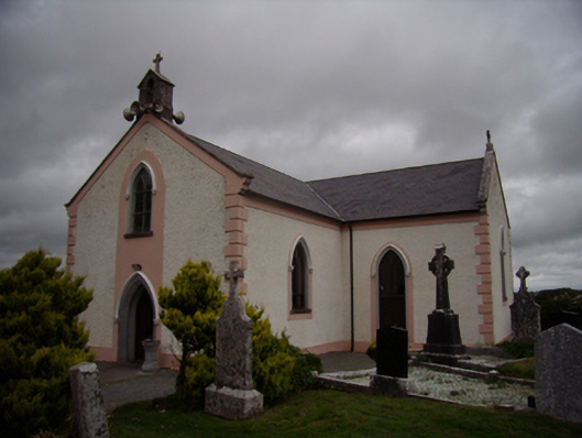 Saint Dympna's Catholic Churchchurch/chapel · 27 yd
 St. Dimas Church (in ruins)Church · 28 yd
 ToberemonHoly well · 285 yd
 Ritual siteRitual site, holy tree/bush · 526 yd
 Island McCooIslet · 1.2 mi
 Ash IslandIslet · 1.4 mi
 Long PointHeadland · 1.5 mi
 Site of CastleCastle, unclassified · 1.8 mi
 CastleCastle, tower house · 2.9 mi
 Scalpeen RockNamed rock · 3.4 mi
 KnockapollboyMountain / peak · 5.1 mi
 Dartfield Horse MuseumHeritage attraction · 5.7 mi
Other information
Photo: Credit not shown in the picture search · Rights wording not checked; contact us if this picture should be removed