What is recorded here
Butlerstown holds a levelled fairy fort above Barryroe, its shallow bank still tracing a thirty-metre circle across farmland. The earth has been worked until the fortress became a ridge, yet the shape resists forgetting. People may have lived there before ploughs came, children may have run inside the ditch when the field was empty, and the town may have kept the name because the shape would not leave.
In tillage, on N-facing slope overlooking Barryroe village to N. Noted on GSAP as circular enclosure; now levelled but low rise indicates line of bank (diam. 38m N-S; 30m E-W); faint traces of fosse on outside.
The above description is derived from the published 'Archaeological Inventory of County Cork. Volume 1: West Cork' (Dublin: Stationery Office, 1992). In certain instances the entries have been revised and updated in the light of recent research.
Date of upload/revision: 14 January 2009
The monument record does not grant public access. Check the route and ask the landowner before entering private land.
- What survives
- Recorded monument
Places near here
 Sea Courtcountry house · 593 yd
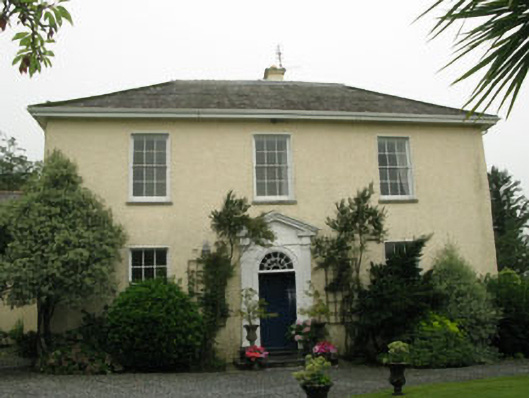 Butlerstown Housecountry house · 673 yd
 Kill Bur. Gd. (Children) (Disused)Burial ground · 1155 yd
 CaveMan-made underground passage · 1553 yd
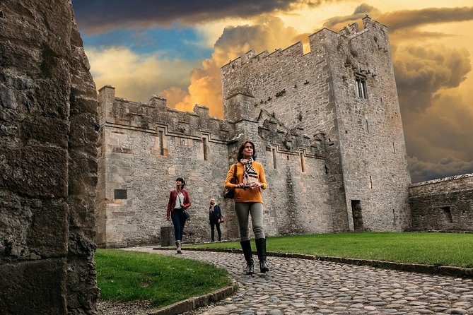 Rock Castle (in Ruins)Castle, tower house · 1.0 mi
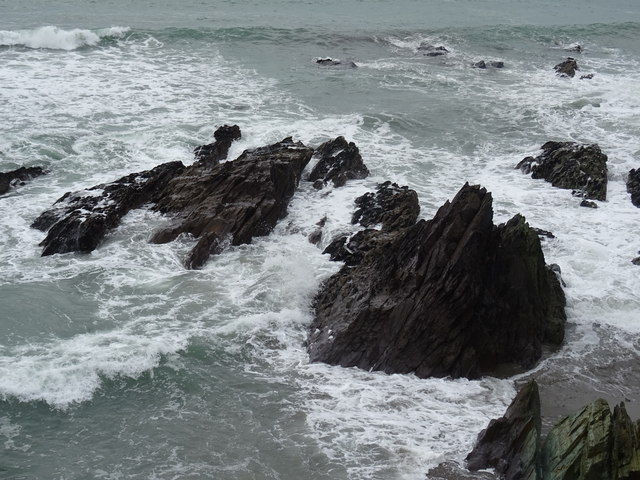 Dunworly BeachBeach / strand · 1.4 mi
 Cave DunworleyViewpoint · 1.4 mi
 Courtmacsherry Bay ViewViewpoint · 1.6 mi
 War MemorialMemorial · 1.6 mi
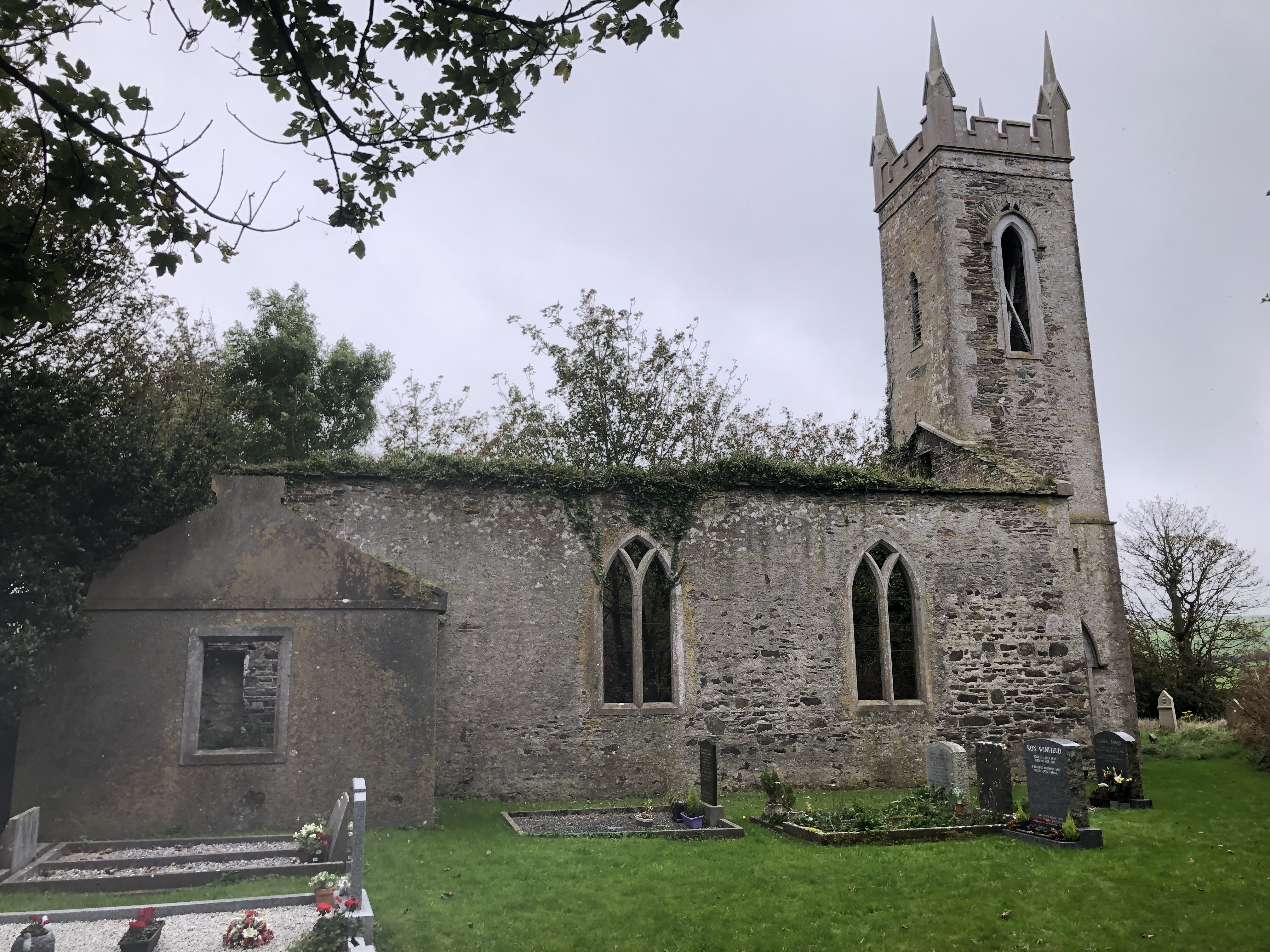 Lislee Court (Site of)Castle, unclassified · 1.6 mi
 HDS walk Coolim CliffsHeritage attraction · 2.1 mi
 Broad StrandBeach / strand · 2.2 mi