What is recorded here
Marianne and Cillian walked the ridge above Bushypark, passing two levelled circles before reaching the true ringfort. Its earthen bank rose sixteen decimetres against the sky while a shallow ditch cut the grass below. They sat inside the shadow of the scarp, watching the Bride river valley change from gold to purple. Marianne touched the rough ground and imagined someone living there, not a fairy, because the slope faced the best light and the view reached far. Cillian laughed at her plain magic. The fort had no gate they could find, but the western overgrowth hid everything it wanted to keep.
In pasture, on NNW-facing slope, good view to NW over Bride river valley. Levelled circular enclosures (CO044-022---; CO044-023---) c. 150m and 250mto E. Circular area (26m NW-SE) defined by earthen bank (H 1.6m) NE->SW; scarp (H 1.5m) with low internal lip (H 0.3m) WNW->NE; external fosse. Heavily overgrown to W. Interior follows natural slope.
The above description is derived from the published 'Archaeological Inventory of County Cork. Volume 2: East and South Cork' (Dublin: Stationery Office, 1994). In certain instances the entries have been revised and updated in the light of recent research.
Date of upload/revision: 14 January 2009
The monument record does not grant public access. Check the route and ask the landowner before entering private land.
- What survives
- Recorded monument
Places near here
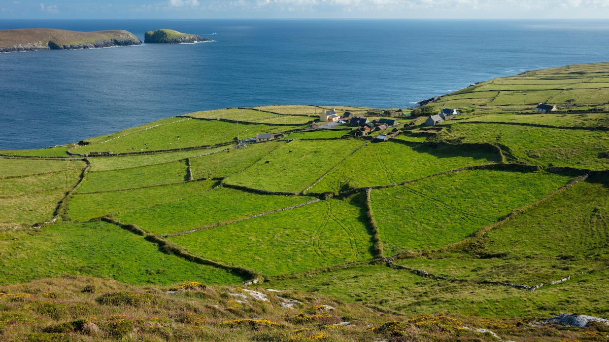 IndicatedFairy fort / earthen ringfort · 421 yd
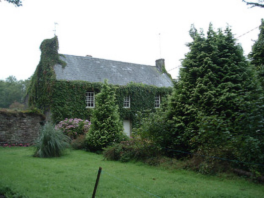 Bushy Park Househouse · 736 yd
 Castle (in Ruins)Castle, unclassified · 1071 yd
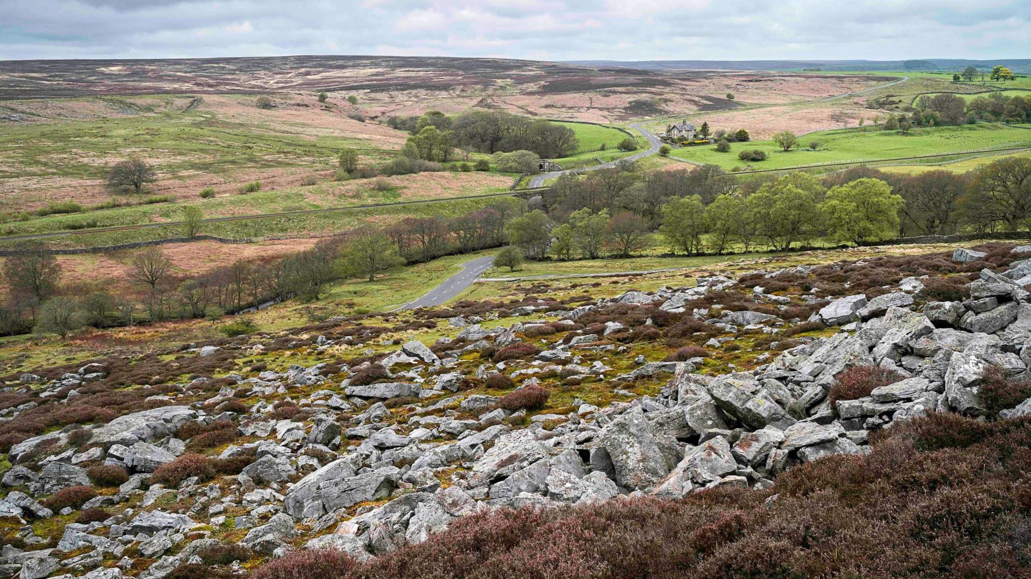 Burnt mound in MountcatherineBurnt mound · 1095 yd
 Corbally Bridgebridge · 1.1 mi
 Graveyard in Killuntin NorthGraveyard · 1.8 mi
 Devonshire's HillMountain / peak · 3.1 mi
 Graveyard in GlenvilleGraveyard · 3.1 mi
 Rathcormac massacremassacre · 3.7 mi
 Monananig WoodsWood · 3.8 mi
 Tower (in Ruins)Bawn · 3.8 mi
 Cappagh XViewpoint · 4.1 mi