What is recorded here
Situated on a slight slope, in pasture, with good views to N and NE. Monument described as a roughly oval-shaped area (dims. 62m NW-SE; 56m NE-SW) enclosed by a bank and external fosse with possible entrance at NE. The earth and stone bank (H 1-1.25m) is curvilinear in form from S-W-N-E and it has a slight indent from where it bulges outwards from E-S. The bank has several disturbance gaps. The wide, steep, U-shaped fosse is visible from SSW-W. The interior has a NE-facing slope and cultivation ridges are visible running NW-SE. There is a low platform in the SW quadrant.
See attached profile of monument surveyed and drawn by the ASI.
Compiled by Alison McQueen, Vera Rahilly and Caimin O’Brien.
Date of upload: 05 September 2019
The monument record does not grant public access. Check the route and ask the landowner before entering private land.
- What survives
- Recorded monument
Places near here
 Tober FintanHoly well · 547 yd
 Jamestown Househouse · 1484 yd
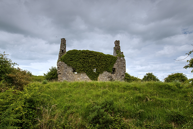 Dundonnell CastleCastle, unclassified · 1554 yd
 IndicatedFairy fort / earthen ringfort · 1599 yd
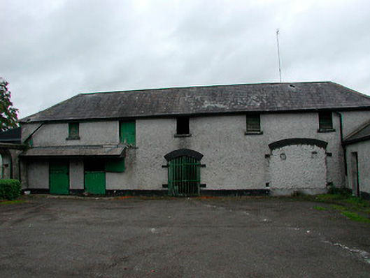 Barrettstown Houseoutbuilding · 1659 yd
 Bawn in Tuitestown (moyashel & Magheradernon By.)Bawn · 1.2 mi
 Ancient Ring FortWood · 1.2 mi
 Ash IslandIslet · 2.5 mi
 Hill of UisneachMountain / peak · 4.3 mi
 Carrickphilbin IslandIslet · 5.2 mi
 Sessile OakSessile Oak · 8.8 mi
 Bonfire HillMountain / peak · 10.0 mi