What is recorded here
Fairy forts are human ringforts misnamed because people stopped remembering they were human. In Breaghy, County Longford, a low circular bank once rose about thirty-nine metres across, with a shallow ditch outside and a entrance now lost beneath a modern road. The western half was cut away for that roadway, and the rest has been levelled, yet the grass still shadows the hidden line. What was forgotten is not gone; it has simply stopped announcing itself.
On a low rise in pasture. A report in 1975 (SMR file) recorded a raised circular area (diam. c. 39m) enclosed by a low bank of earth and stone with a shallow external fosse. The W half had been destroyed due to the construction of a modern roadway and the original entrance was not recognisable. The rest of it has since been levelled but variations in the grass cover clearly indicate its outline.
Compiled by: Patrick F. O'Donovan
Date of upload: 26 August 2011
The monument record does not grant public access. Check the route and ask the landowner before entering private land.
- What survives
- Recorded monument
Places near here
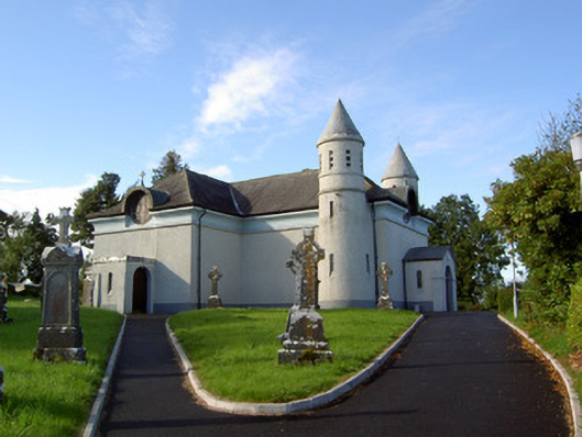 Saint James's Catholic Churchchurch/chapel · 452 yd
 IndicatedFairy fort / earthen ringfort · 1285 yd
 Enclosure in Knockanbaun OR WhitehillEnclosure · 1624 yd
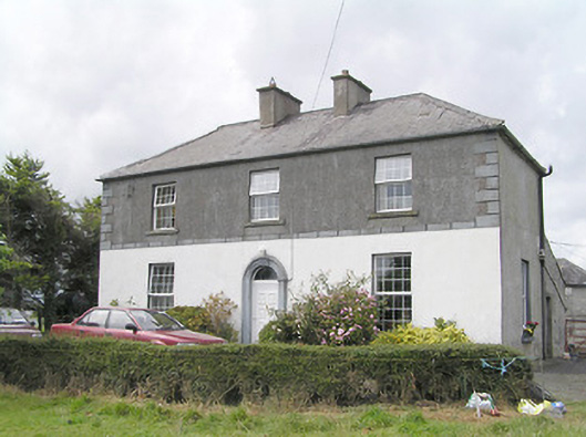 Firmount Housesteward's house · 1.1 mi
 Moat & FortCastle, motte and bailey · 1.3 mi
 Clonfin Ambush MemorialMemorial · 1.4 mi
 RuinsCastle, unclassified · 1.5 mi
 Cloonfin WoodForest · 2.2 mi
 Ballinalee Forest WalkForest · 2.4 mi
 Bully's Acregraveyard/cemetery, unknown · 2.8 mi
 Edgeworthstown BypassMemorial · 3.8 mi
 Granard MotteMotte-and-bailey castle remains · 4.9 mi