
What is recorded here
Situated on grassland. Outline of multivallate circular-shaped enclosure (diam. c. 37m) visible on Digital Globe aerial imagery taken 2011-13.
See attached image from Google Earth orthoimages
Compiled by: Caimin O'Brien based on details provided by Jean-Charles Caillère
Date of upload: 7 April 2021
The monument record does not grant public access. Check the route and ask the landowner before entering private land.
- What survives
- Recorded monument
Places near here
 IndicatedFairy fort / earthen ringfort · 340 yd
 BarrowBarrow, ring-barrow · 839 yd
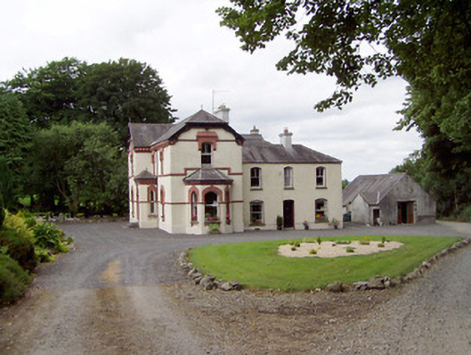 Corbeagh Househouse · 1611 yd
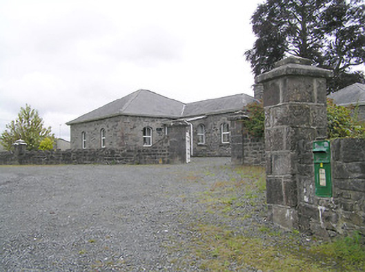 Lissard Housegates/railings/walls · 1629 yd
 RuinsCastle, unclassified · 1.0 mi
 Moat & CastleCastle, motte and bailey · 1.1 mi
 Clonfin Ambush MemorialMemorial · 2.3 mi
 Ballinalee Forest WalkForest · 2.6 mi
 Bully's Acregraveyard/cemetery, unknown · 3.0 mi
 Cloonfin WoodForest · 3.0 mi
 Edgeworthstown BypassMemorial · 3.2 mi
 Granard MotteMotte-and-bailey castle remains · 5.7 mi
Other information
Photo: Credit not shown in the picture search · Rights wording not checked; contact us if this picture should be removed