What is recorded here
No entrance is visible on the grassy rim, suggesting the fort defied ordinary entry or has simply erased its own doorway. The Boycetown River flows thirty metres south, close enough to reflect light across the fosse but far enough to keep the fort separate from the water's noise. A hidden door may still exist beneath the turf, waiting for someone who stops arguing with the shape of the place.
Located in the valley of the SE-NW Boycetown River, with an E-W section of the stream c. 30m to the S. Subcircular, grass-covered area (dims 36m N-S; 32m E-W) defined by a scarp with surrounding fosse (Wth 4.5-6.5m; ext. D 0.1-0.2m generally to 1m at N). There is no identifiable original entrance. Earthwork (ME037-023----) is c. 50m to the NNW.
The above description is derived from the published 'Archaeological Inventory of County Meath' (Dublin: Stationery Office, 1987). In certain instances the entries have been revised and updated in the light of recent research.
Date of revision: 14 May 2016
The monument record does not grant public access. Check the route and ask the landowner before entering private land.
- What survives
- Recorded monument
Places near here
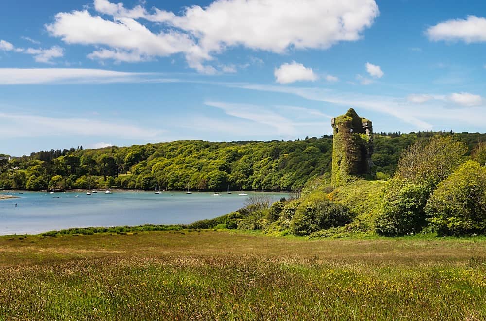 Walshs RaheenFairy fort / earthen ringfort · 327 yd
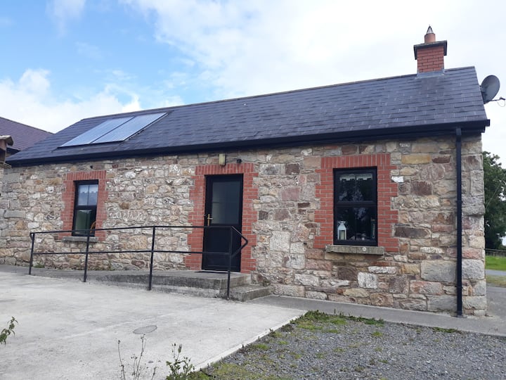 Enclosure in WindtownEnclosure · 1492 yd
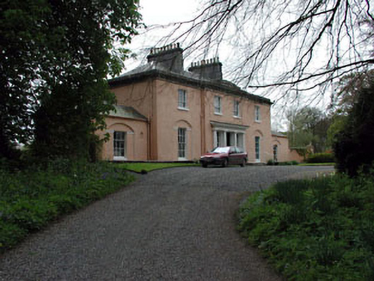 Galtrim Housecountry house · 1734 yd
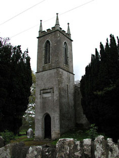 Saint Mary's Church (Galtrim)church/chapel · 1.0 mi
 Galtrim MoatCastle, motte · 1.1 mi
 Ginnets MoatCastle, motte · 1.5 mi
 Saints IslandForest · 2.5 mi
 Railway Woods (North)Forest · 2.6 mi
 Battle of Tara (Ireland)Major battlefield · 4.9 mi
 Battle of Tara Hillbattle · 4.9 mi
 Saint Patrick'sMemorial · 5.1 mi
 Tara Open StudioGallery · 5.2 mi