What is recorded here
Fairy fort / earthen ringfort in Boytonrath is a fairy fort or earthen ringfort in Boytonrath, County Tipperary, Ireland. A slight surface trace marks a circular area about thirty metres across, defined by a levelled ditch up to five metres wide and 0.3 metres deep. A possible causewayed entrance about four metres wide faces south-southwest, while scant outer bank remains three to four metres wide and up to 0.25 metres high run from north-east through east to south-east. A large, roughly D-shaped depression lies to the west side of the monument.
In level pasture, with gentle W-facing tilt. Slight visible surface trace of circular area (diam. c. 30m) defined by remains of levelled fosse (max. Wth 5m; max. D 0.3m), more apparent in places due to differential growth of vegetation. Possible causewayed entrance (Wth c. 4m) at SSW. Scant remains of outer bank (Wth c. 3-4m; max. H c. 0.25m) NE-E-SE. Large, roughly D-shaped depression to W side of monument and both are enclosed on 1900-05 OS 6-inch map by field boundaries. All field boundaries removed and that to N replaced by electric fence.
Compiled by: Jean Farrelly
Date of upload: 26 August 2011
The monument record does not grant public access. Check the route and ask the landowner before entering private land.
- What survives
- Recorded monument
Places near here
 Boytonrath Castle (in ruins)Castle, unclassified · 493 yd
 Boytonrath Church (in ruins)Church · 593 yd
 Field system in BallyslatteenField system · 1268 yd
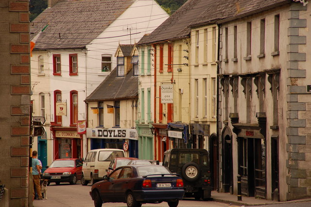 Bawn in Lagganstown UpperBawn · 1294 yd
 Enclosure in Lagganstown UpperEnclosure · 1334 yd
 Dangandargan Church (in ruins)Church · 1.2 mi
 Athassel PrioryHeritage attraction · 1.8 mi
 Caucasian zelkovaCaucasian zelkova · 4.2 mi
 Cappa WoodWood · 4.9 mi
 SturrakeenMountain / peak · 6.8 mi
 Laghtshanaquilla North-East TopMountain / peak · 7.5 mi
 I.R.A. 3rd. Tipperary Brigade MemorialMemorial · 8.3 mi