What is recorded here
Fairy fort / earthen ringfort in Boytonrath is a fairy fort or earthen ringfort in Boytonrath, County Tipperary, Ireland. It occupies level pasture about 300 metres southwest of Boytonrath castle. A very shallow ditch, five metres wide and fifteen centimetres deep, marks an oval area measuring thirty-seven metres north to south and forty-six metres east to west. Wet ground covers the southwest through west to northwest section, while surface water collects in the northern and northeastern ditch.
In level pasture. Slight visible surface trace of oval area (dims. C. 37m N-S; c. 46m E-W) defined by remains of a fosse (Wth c. 5m; D c. 0.15m) - very shallow WNW-N-E-S. Wet areas cover monument SW-WNW. Some surface water in fosse at N and NE. Located c. 300m to SW of Boytonrath castle (TS068-061002-) and enclosure (TS068-061001-).
Compiled by: Jean Farrelly
Date of upload: 26 August 2011
The monument record does not grant public access. Check the route and ask the landowner before entering private land.
- What survives
- Recorded monument
Places near here
 Boytonrath Castle (in ruins)Castle, unclassified · 373 yd
 Boytonrath Church (in ruins)Church · 550 yd
 Field system in BallyslatteenField system · 1433 yd
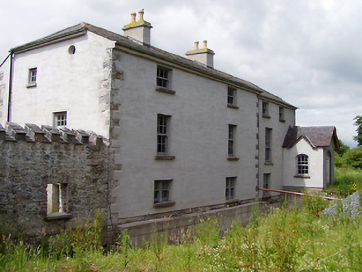 Mill Housemill (water) · 1521 yd
 Bawn in Lagganstown UpperBawn · 1591 yd
 Enclosure in Lagganstown UpperEnclosure · 1.1 mi
 Athassel PrioryHeritage attraction · 2.1 mi
 Caucasian zelkovaCaucasian zelkova · 3.9 mi
 Cappa WoodWood · 4.6 mi
 Slieveanard NE TopMountain / peak · 5.3 mi
 SturrakeenMountain / peak · 6.7 mi
 I.R.A. 3rd. Tipperary Brigade MemorialMemorial · 8.5 mi