What is recorded here
Fairy fort is a half-erased ring on a NE-facing slope in County Meath, preserved only as a D-shaped bank and fosse in its SE quadrant. The missing northern half may have been taken by a farm lane or swallowed by a neighbouring house, while the visible earth still marks the shape of an old boundary. It is the kind of place where human residence and fairy tale both feed on the same gap: a room large enough to remember, but incomplete enough to invent.
Located towards the top of a NE-facing slope. It is represented as an arc of a bank E-SSW on the 1836 and 1908 editions of the OS 6-inch map. Only the SE quadrant survives as a D-shaped area (dims c. 25m E-W; c. 25m N-S) that slopes down to the N which is defined by an earthen bank (at S: Wth of base 6.2m; int. H 1.5m; ext. H 3.1m) and outer fosse (at S: Wth of top 5m; Wth of base 2.1m; ext. D 2.6m) E-SSW (Chord 34m). Just to the W is a derelict house and plot, the perimeter of which could incorporate some of the original bank but an E-W farm lane at N truncates the monument on this side and no archaeological feature is visible N of this.
The above description is derived from the published 'Archaeological Inventory of County Meath' (Dublin: Stationery Office, 1987). In certain instances the entries have been revised and updated in the light of recent research.
Compiled by: Michael Moore
Date of revision: 31 August 2018
The monument record does not grant public access. Check the route and ask the landowner before entering private land.
- What survives
- Recorded monument
Places near here
 The CurraghWood · 332 yd
 Cross in EnniskeenCross · 1253 yd
 Portal tomb in ErveyPortal tomb · 1483 yd
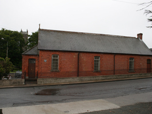 Kingscourt Parochial Hallchurch hall/parish hall · 1.1 mi
 Church of the Immaculate Conceptionchurch/chapel · 1.1 mi
 Miltown GlenWood · 1.3 mi
 CabraMountain / peak · 1.9 mi
 In Memory of Our DadMemorial · 2.2 mi
 Castle ruinsCastle, unclassified · 2.2 mi
 Natural Play AreaMemorial · 2.2 mi
 Castle in ruinsCastle, unclassified · 2.4 mi
 BarleyhillMountain / peak · 2.5 mi