What is recorded here
Fairy fort in Boyannagh, County Leitrim: a circular earthen ring on an east-west ridge, with a steep grassy bank and shallow outer ditch, partly cut by a later field bank. The shape suggests a defended or ceremonial place, though no entrance survives clear enough to be certain. People may have lived, gathered or excluded others there before the land was forgotten and renamed after fairy legends.
At the summit of an E-W ridge. This is a grass and reed-covered circular area (int. diam. 34m N-S; 32.5m E-W) defined by a round-topped, steep-sided, overgrown earthen bank (Wth 2.95m; int. H 0.3m at W to 0.45m at N; ext. H 0.3m at W to 1m at N) with an external flat-bottomed fosse (Wth 3.3m; D 0.15m). The original entrance is not identified, but the monument is truncated by a field bank at S. It remains unplanted in a coniferous forest (Bing c. 2013).
The above description is derived from 'The Archaeological Inventory of County Leitrim' compiled by Michael J. Moore (Dublin: Stationery Office, 2003). In certain instances the entries have been revised and updated in the light of recent research.
Date of upload: 23 September 2008
The monument record does not grant public access. Check the route and ask the landowner before entering private land.
- What survives
- Recorded monument
Places near here
 Enclosure in DunmuckrumEnclosure · 397 yd
 Rathglass Double-Banked Fairy FortFairy fort / earthen ringfort · 1299 yd
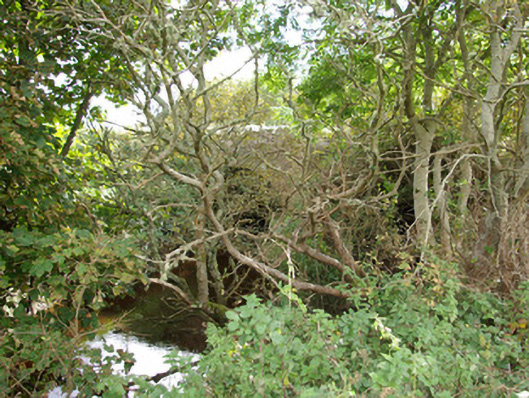 bridgebridge · 1.1 mi
 Bradoge Bridgebridge · 1.3 mi
 Lareen BayBay · 1.6 mi
 Rosfriar PointHeadland · 1.6 mi
 InisheherIslet · 1.9 mi
 InishmeanIslet · 2.0 mi
 Finner Old GraveyardGraveyard · 2.3 mi
 CastleCastle, tower house · 2.3 mi
 St Anne's Church GraveyardGraveyard · 2.4 mi
 Tullan StrandBeach / strand · 2.7 mi