What is recorded here
Rath Hill in Boltown is a grass-covered D-shaped platform thirty-nine metres long, raised slightly above the surrounding low land. Its western edge drops a metre into the valley, while the rest fades gently into the slope. A narrow gap marks the entrance, inviting entry into a space that may have held homes, herds or quiet ritual. The fort has no name in official lists, yet it remains visible from above and resistant to forgetting.
Situated on a rise in a low-lying landscape, it is known locally as ‘Rath Hill’. This feature is not depicted on any OS 6-inch map but is visible on aerial photographs (ACAP: 307; 1567/ 58) and on some later series (Google Earth 07/05/2017). It is a low D-shaped and grass-covered platform (dims 39m NE-SW; 20m NW-SE) defined by a scarp (H 1m at N to 1.2m at W) SW-W-NE that merges into the slope elsewhere. There is no visible fosse and the ramp entrance (Wth of base 3m) is at WNW.
The above description is derived from the published 'Archaeological Inventory of County Meath' (Dublin: Stationery Office, 1987). In certain instances the entries have been revised and updated in the light of recent research.
Compiled by: Michael Moore
Date of revision: 26 February 2019
The monument record does not grant public access. Check the route and ask the landowner before entering private land.
- What survives
- Recorded monument
Places near here
 Sylvan Park WoodsForest · 514 yd
 Bog WoodsForest · 758 yd
 New Groveoutbuilding · 1574 yd
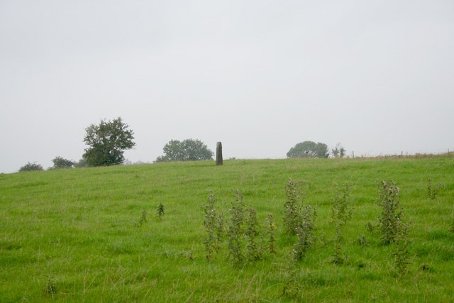 Standing stone in Balnagon UpperStanding stone · 1.0 mi
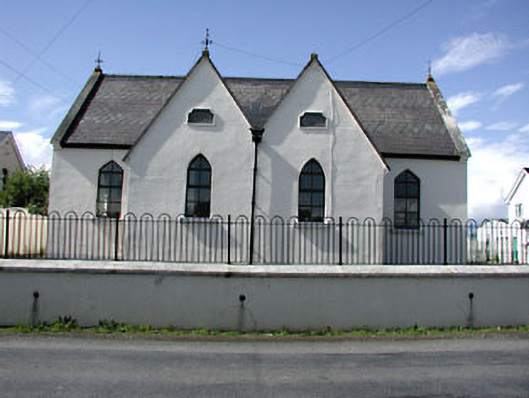 Drumbaragh National Schoolschool · 1.6 mi
 Grave YardGraveyard · 1.7 mi
 Round TowerCastle, tower house · 1.8 mi
 CloncatMountain / peak · 2.0 mi
 BoglandMemorial · 2.9 mi
 The Pauper's CemeteryMemorial · 3.0 mi
 Balgree MoteCastle, motte · 3.3 mi
 Drewstown LittleMountain / peak · 3.4 mi