What is recorded here
Fairy fort in Bohard, County Limerick: a sub-circular earthen ring, 36 by 39 metres, with a shallow external fosse, half-erased by pasture and drainage. The 1841 survey still drew it as an embanked enclosure; today a field boundary cuts across its northern edge and the fosse has been deepened for water. People may have lived, hidden or marked time inside that circle before the bank flattened into grass.
In level damp pasture. Monument, depicted as embanked circular enclosure on 1841 OS 6-inch map, is now evident as sub-circular area (36m N-S; 39m E-W) enclosed by levelled earthen bank (int. H 0.05m; ext. H 0.2m) with an external fosse (D 0.25m; Wth 2.2m). A field boundary runs across N side of enclosure, crossing enclosing element at WNW and NE. On N side of boundary fosse has recently been deepened as part of field drainage works.
Compiled by: Denis Power
Date of upload: 26 August 2011
The monument record does not grant public access. Check the route and ask the landowner before entering private land.
- What survives
- Recorded monument
Places near here
 ToberhoranSpring · 741 yd
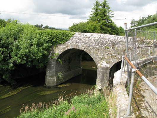 Broken Bridgebridge · 923 yd
 Fairy fort / earthen ringfort in AhaveheenFairy fort / earthen ringfort · 1259 yd
 Moated site in AhaveheenMoated site · 1464 yd
 KilnKiln, lime · 1.5 mi
 Garbally WellSpring · 1.7 mi
 Mayne Ho.Castle, unclassified · 1.8 mi
 CastleCastle, unclassified · 1.8 mi
 National Co-op MuseumMuseum · 3.5 mi
 Ballagh MountainMountain / peak · 6.5 mi
 Mullaghareirk - Banane LoopWalking route · 7.3 mi
 Rock HillMountain / peak · 9.3 mi