What is recorded here
No visible entrance, no marked gate, only a buried oval ditch and a grassy dome sixty metres long. The fort hid in plain sight, refusing measurement until satellites passed overhead. What humans built or abandoned there has vanished into soil and memory, leaving behind a shape large enough to circle but small enough to forget.
Situated on a rise in a low-lying landscape. It is not depicted on any OS 6-inch map but it is visible on aerial photographs (GSIAP: N 306, 307) from the 1970s. In 1985 (SMR file) this was an oval and domed (H 1.6m), grass-covered area (dims 61m N-S; 45m E-W) defined by a fosse (at S: Wth of top 3m; int. D 0.8m; ext. D 0.3m; at N: Wth of top 5m; int. D 0.9m; ext. D 0.3m). An entrance is not identified, but the interior has some grass-covered quarries. The interior was crossed by a NE-SW field bank just SE of the centre with a drain on the NW side. The visible had been removed by 1995 (OSAP) but the cropmark is visible on some aerial series (OSAP 2017; Digital Globe c. 2013).
The above description is derived from the published 'Archaeological Inventory of County Meath' (Dublin: Stationery Office, 1987). In certain instances the entries have been revised and updated in the light of recent research.
See the attached view from OSAP (2017)
Compiled by: Michael Moore
Date of revision: 9 August 2019
The monument record does not grant public access. Check the route and ask the landowner before entering private land.
- What survives
- Recorded monument
Places near here
 OutlinedFairy fort / ringfort · 958 yd
 Partially indicatedFairy fort / earthen ringfort · 1.0 mi
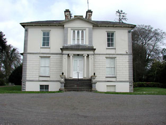 Mount Heveycountry house · 2.2 mi
 Grange Beg Housedovecote/pigeon house/aviary · 2.3 mi
 Abandoned Kinnegad CanalWood · 2.6 mi
 ScregganWood · 2.9 mi
 Donore CastleCastle · 3.7 mi
 Carrantstown CastleCastle, unclassified · 3.7 mi
 Croppies' GraveMemorial · 4.6 mi
 Cloncurry GraveyardHeritage attraction · 11 mi
 Enclosure in Newtown or CloneenEnclosure · 2.2 mi
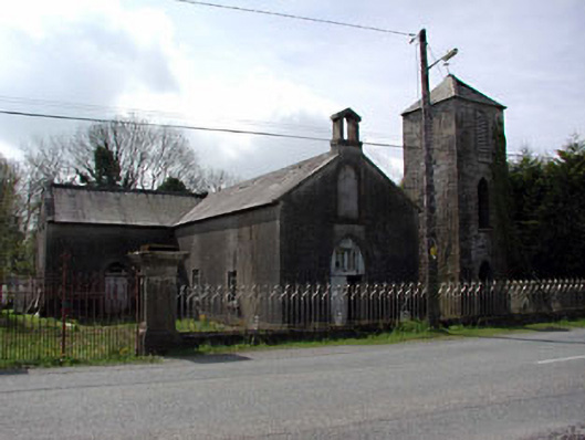 Saint Mary's Catholic Chapelchurch/chapel · 2.3 mi