What is recorded here
Fairy forts are earthen rings, not fantasy. This one in Bey More is a D-shaped ringfort about forty metres across, its shallow ditch still tracing the boundary on level ground. People built it to keep out what they feared and to hold what they valued. The fairies entered later, filling the vacancy with wonder.
Situated on a level landscape. The faint cropmark of a subcircular or D-shaped enclosure (dims c. 40m N-S; c. 40m E-W) defined by a continuous fosse (Wth c. 2-4m) is visible on Apple Maps, which utilises a survey conducted by Blue Sky International during June 2018. It is also visible on Digital Globe (c. 2013), and it was first reported by Anthony Murphy.
See the attached enhanced view from Apple Maps
Compiled by: Michael Moore
Date of upload: 6 February 2020
The monument record does not grant public access. Check the route and ask the landowner before entering private land.
- What survives
- Recorded monument
Places near here
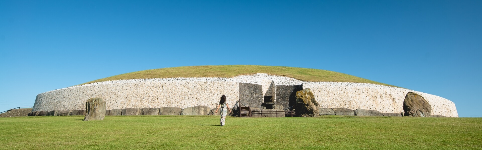 Enclosure in Bey MoreEnclosure · 773 yd
 BeaubecArchaeological place · 1008 yd
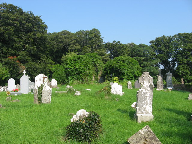 Church (in Ruins)Church · 1.4 mi
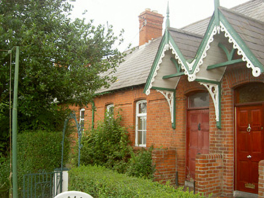 worker's houseworker's house · 1.6 mi
 Millmount MuseumMuseum · 1.8 mi
 Siege of Droghedasiege · 2.0 mi
 The ThoselMemorial · 2.0 mi
 Newgrange Business ParkMemorial · 2.0 mi
 Platin HouseCastle, unclassified · 2.3 mi
 Site of Old CastleCastle, unclassified · 2.3 mi
 Battle of Julianstownbattle · 2.6 mi
 Beaulieu House and GardensHeritage attraction · 3.4 mi