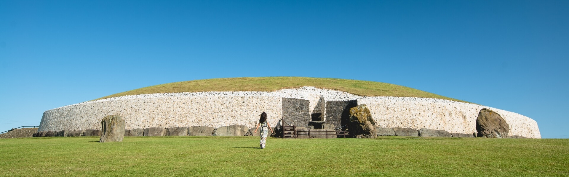
What is recorded here
Situated on a fairly level landscape. The cropmark of a circular area (diam. c. 20m) defined by a single fosse (Wth c. 1-2m) is visible on images recorded from a drone-mounted camera on 30 July 2021 by Anthony Murphy. A rectangular enclosure (ME020-092002-) is c. 10m to the S and an unmapped field system (ME020, 092003-) is associated with both enclosures.
See the attached image (front) courtesy of Anthony Murphy
Compiled by: Michael Moore
Date of upload: 3 August 2021
The monument record does not grant public access. Check the route and ask the landowner before entering private land.
- What survives
- Recorded monument
Places near here
 BeaubecArchaeological place · 481 yd
 Promontory fortPromontory fort, inland · 1635 yd
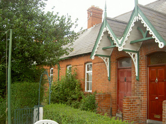 worker's houseworker's house · 1.3 mi
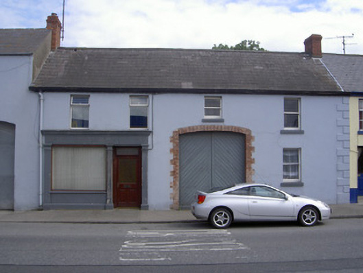 M. Kellyhouse · 1.3 mi
 Millmount MuseumMuseum · 1.4 mi
 Siege of Droghedasiege · 1.6 mi
 Newgrange Business ParkMemorial · 1.6 mi
 The ThoselMemorial · 1.7 mi
 Platin HouseCastle, unclassified · 2.0 mi
 Battle of Julianstownbattle · 3.0 mi
 Yellow IslandIslet · 3.0 mi
 Grove IslandIslet · 3.4 mi
Other information
Photo: Credit not shown in the picture search · Rights wording not checked; contact us if this picture should be removed